Landscape Planning
2002 Florentine Plain Park
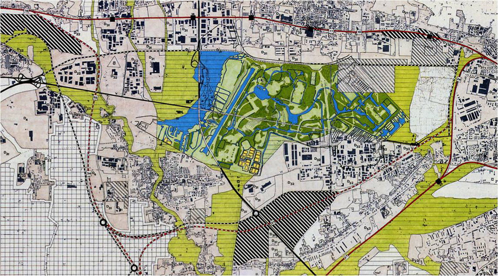
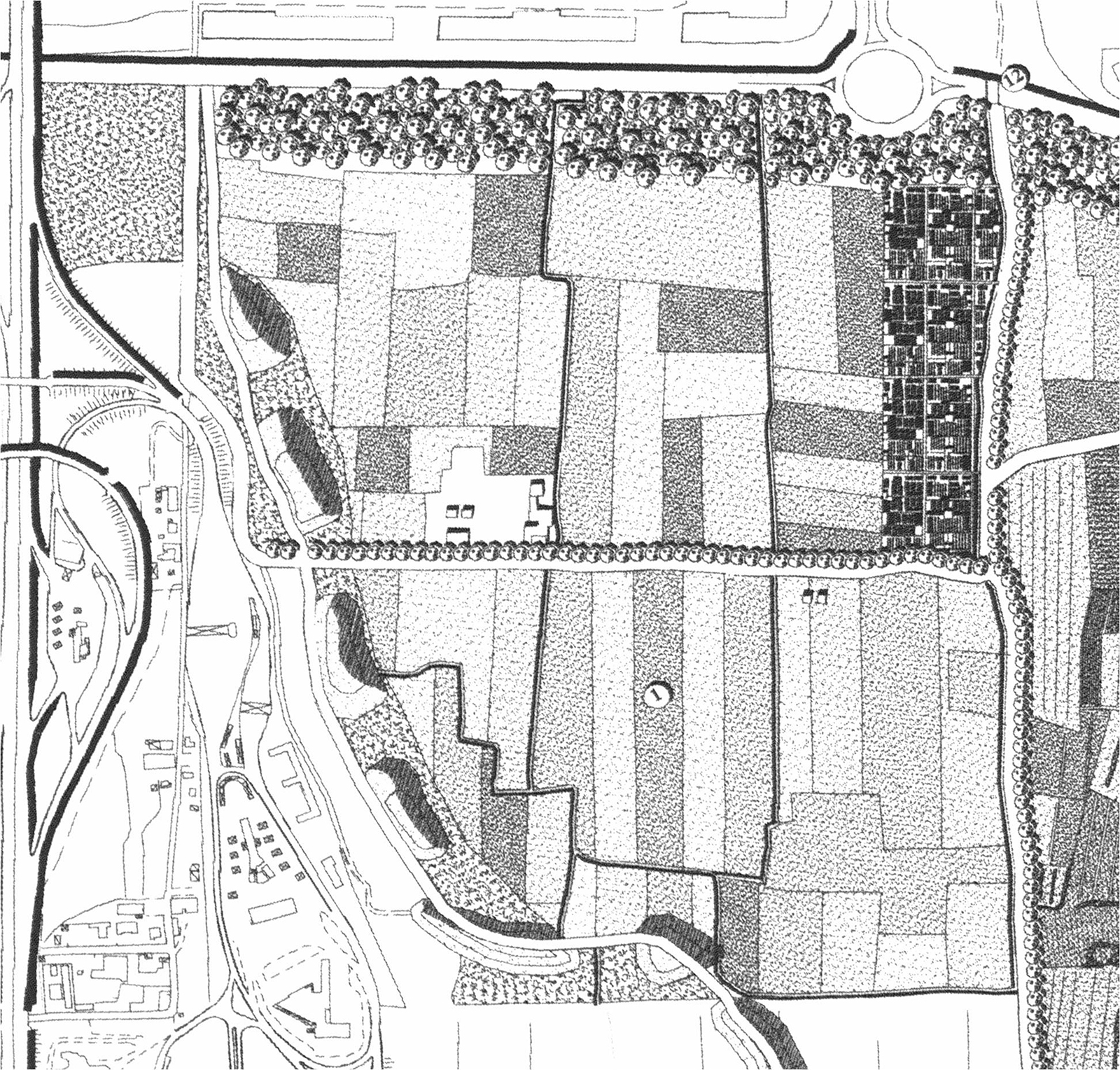
The Florentine Plain Park, an “empty” area of about 460 hectares surrounded by a conurbation that tends to be seamless, represents for the metropolitan area of Florence an important opportunity to try to give the city a “good form”, but it is also an opportunity to rebalance the urban ecosystem, to give citizens open air opportunities for meeting and physical activities and also as a contact with natural elements and landscape.
WHERE
Municipality of Sesto Fiorentino, Province of Florence, Tuscany Region, Italy
WHEN
2001-2002
WHO
Designers/ Group Leader, prof.arch. Lorenzo Vallerini, Collaborators, arch.Ilaria Spinicchia and arch.Andrea Meli
Clients/ Municipality of Sesto Fiorentino
WHAT
Size/ 460 hectares
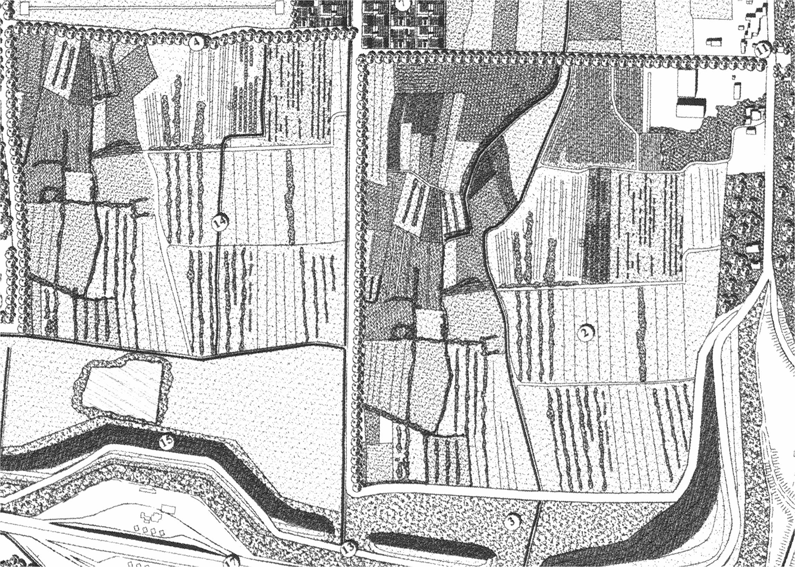
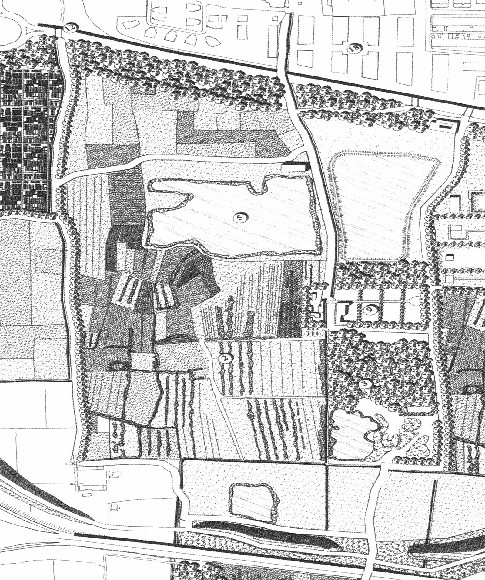
The Florentine Plain Park, as an integral part of the Municipal Structure Plan, has shown that the proposal of a heavily designed park all subject to public actions, was not feasible. This both in relation to the natural preexisting landscapes and for the size of the areas to be subject to public expropriation.
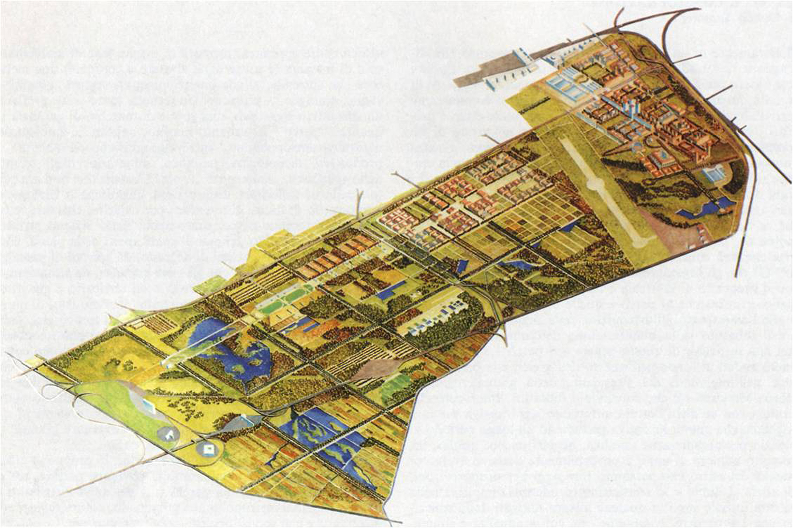
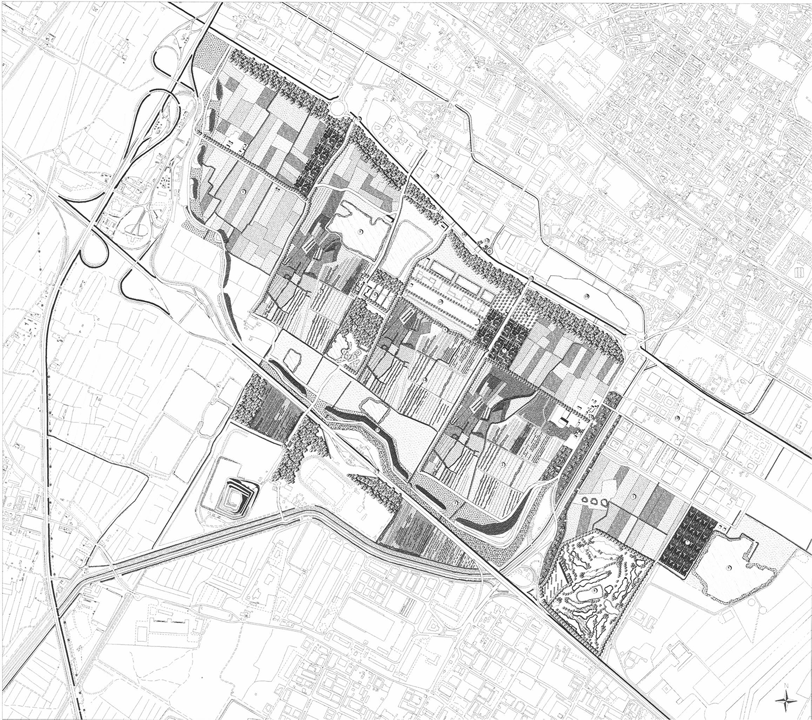
To meet the general objectives of park which have indicated alternative ideas to those of an “urban park”, the Project has identified four main policies for action:
- open spaces: the active protection of natural, landscape and productive components;
- the water system: the sap of the park;
- the system of accessibility and practicability: critical points and permeabilities;
- recreational activities and services: the use as enhancement and land control.
Since about 80% of the land is privately owned, the protection of natural components (wetlands), landscapes and agriculture goes through a revival of “quality” agricultural activities (organic farming, forestry, agritourism, leisure, etc.), the maintenance of water levels in wetlands and in the net of ditches and canals linked to the land reclamation and hydraulic system that constitutes the “skeleton” on which the park-system is based. Without water, in fact, the Park cannot live.
The Project gives indications for the integration of existing and planned infrastructures through mitigation works, for the integration of urbanized areas and for the safeguarding of free spaces of strategic visual importance.
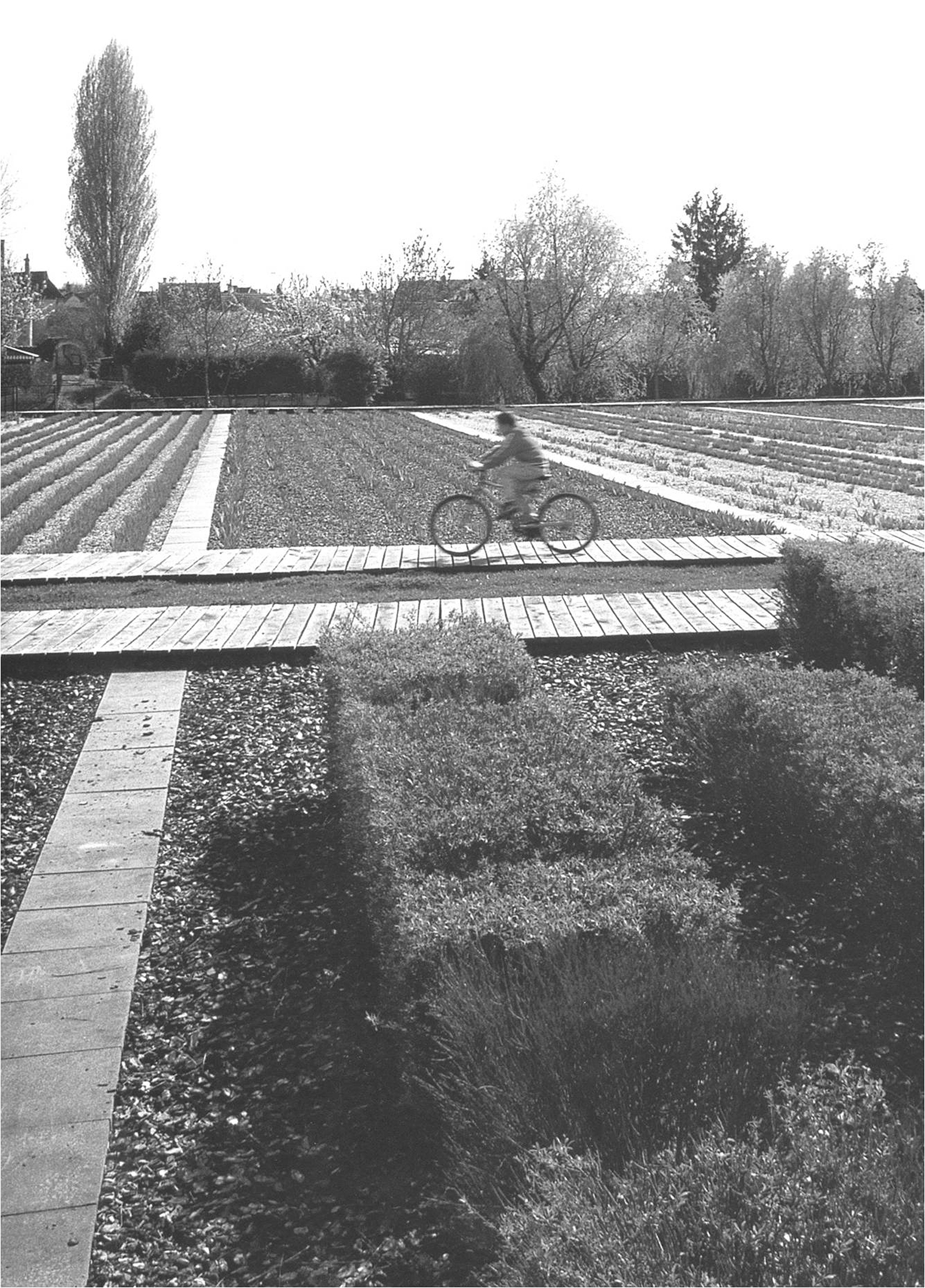
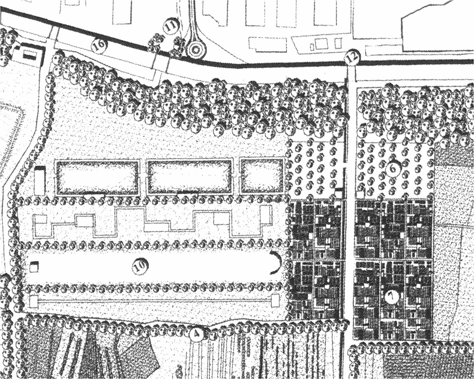
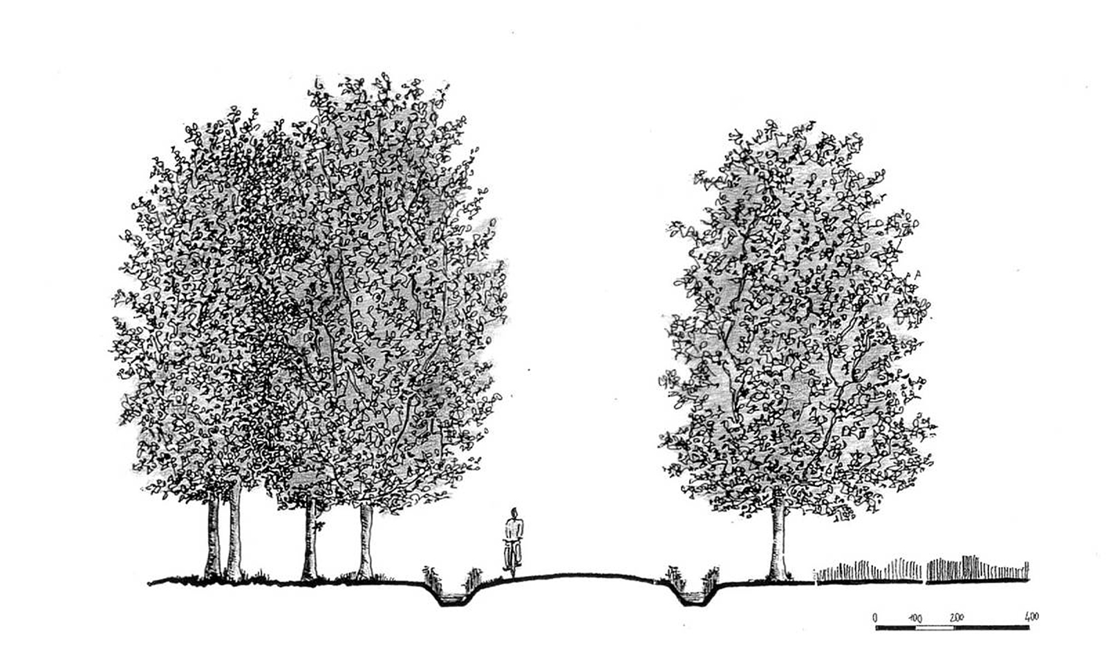
The Park is enclosed-surrounded by an urban-infrastructural system that prevents adequate physical permeability. So ensuring accessibility is vital to ensure a relationship with the city and for park users.
To meet this need, the Project has identified some essential access points consisting of the three Gates of the Park and Information Points and some Functional Connection Nodes, while for the road-worthiness two main crossing routes have been defined and a footpaths network have been designed to allow the use in all directions, also connected to the cycle-pedestrian system proposed by the Municipal Structure Plan.
The recreational activities and services are the elements that allow a new and more complete way of use of the Park and represent the reappropriation by citizens of a forgotten territory. But the park also offers other more popular recreational opportunities, such as social gardens, activities or accommodation in a farmhouse, as well as a capillary enjoyment of all the landscapes that make up the Plain and the wetlands through a network of paths and roads that cross all the highlights of the Park.
The Park itself, finally , performs a recreational function of itself, as it is, for pleasure – and it is not a small thing! – to go into an open space free from urban settlements, but close, within walking distance from home.