Landscape Planning
2013 The Arno Plain and the Chiana Channel Maestro
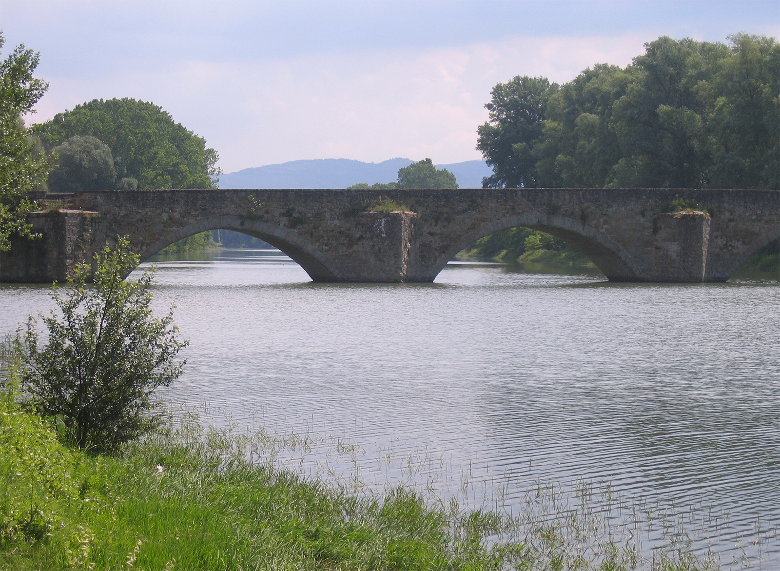
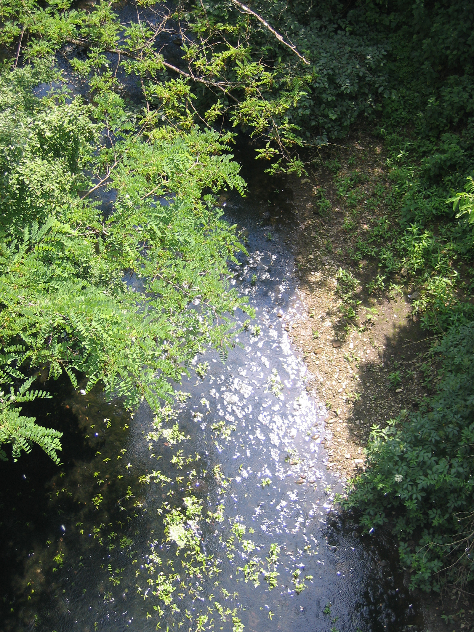
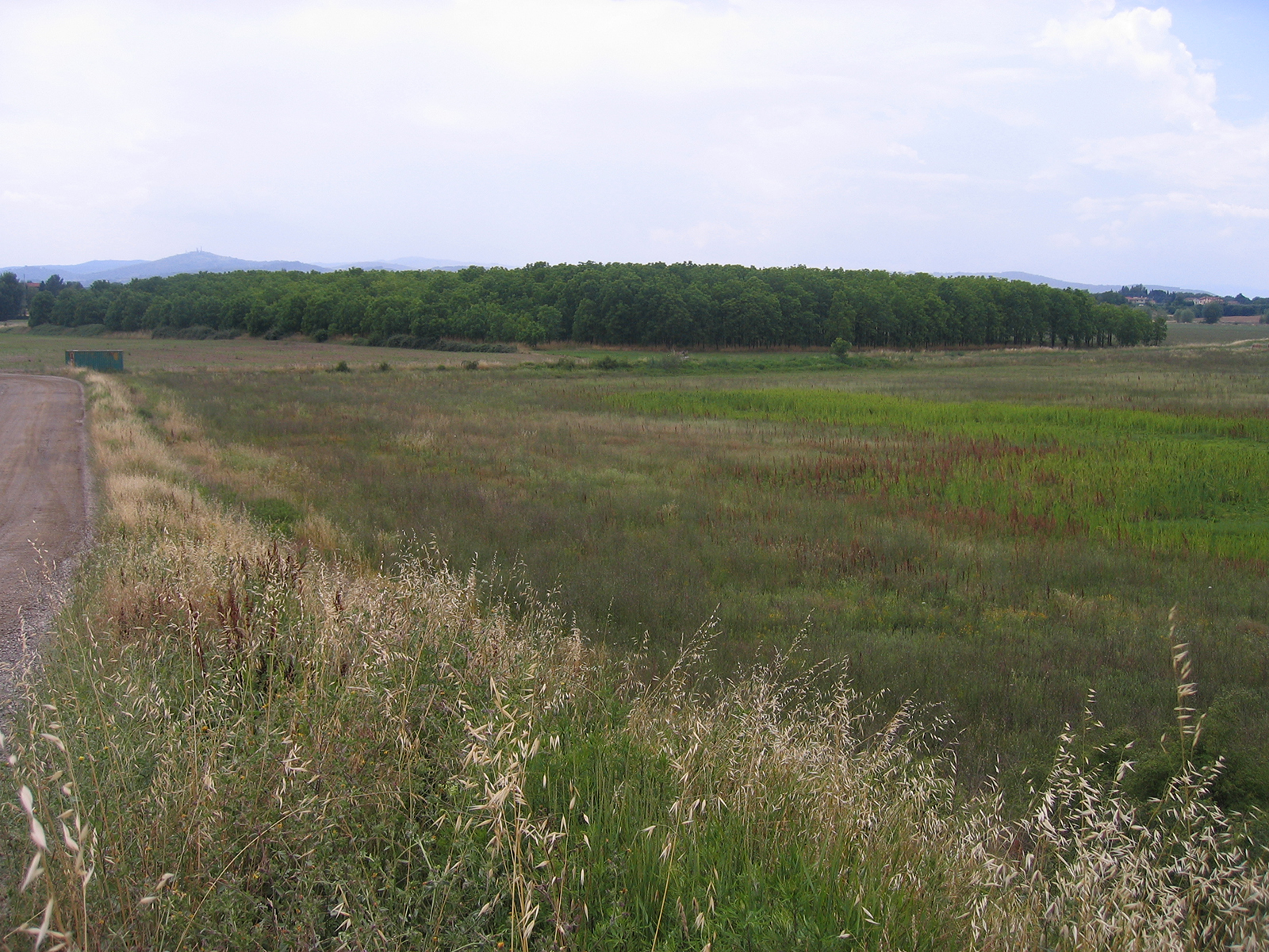
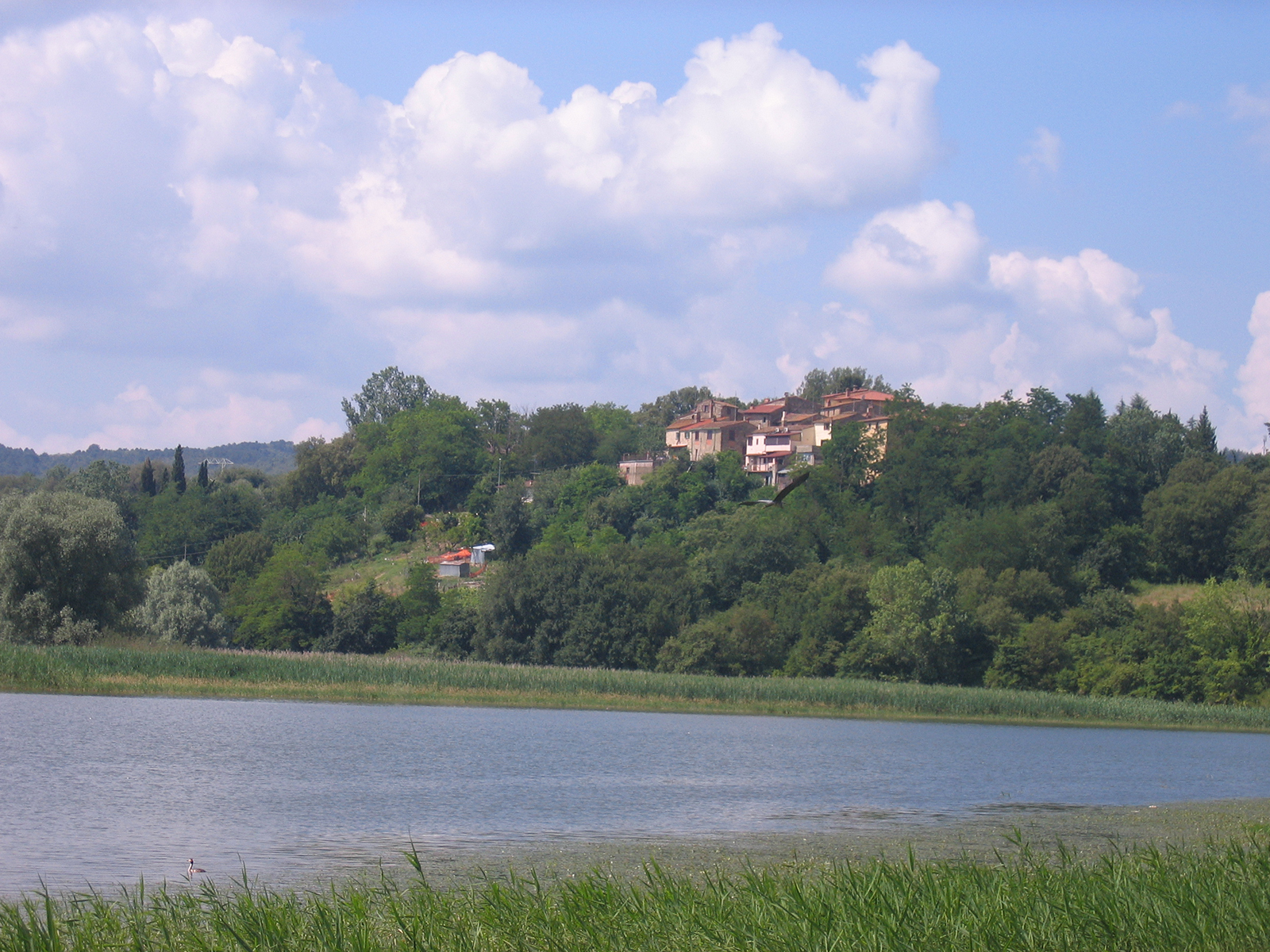
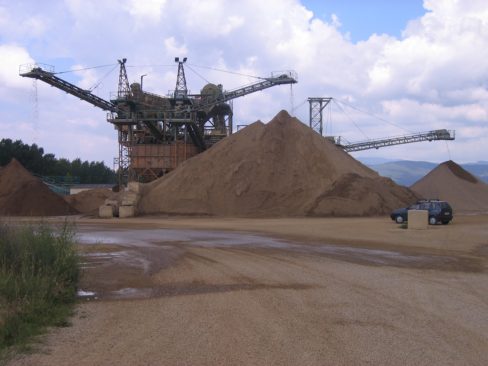
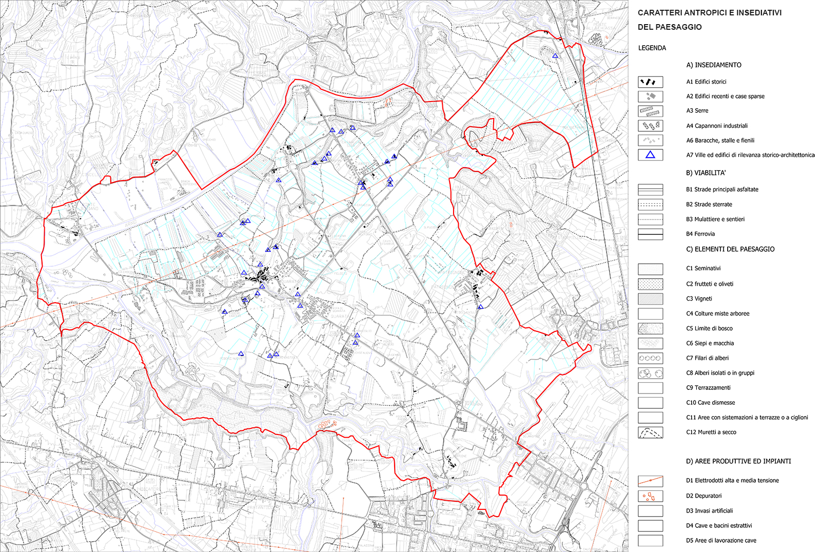
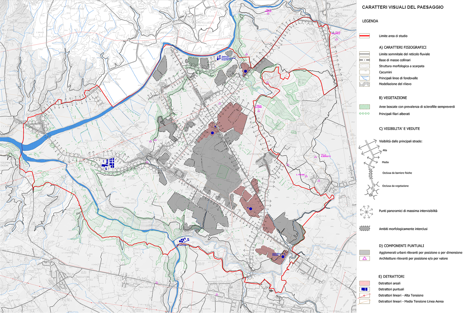
The Arezzo plain, starting from the reclamations promoted in the Etruscan and Roman eras and ending with the systematic ones carried out in the 18th century by the Grand Duke Pietro Leopoldo of Lorraine, has always been the subject of attention by the urban community as a fertile land. This territory has maintained a strong propensity for transformations, both from an hydrogeological point of view and in relation to the design of agricultural fields, settlements and infrastructures. Following industrial development, these transformations became a factor of degradation; the outskirts of the city have expanded in the plain with new residential and industrial settlements, warehouses and landfills and with the growth of quarrying activities (sand and gravel) which occupy vast areas going deeper than the countryside levels.
The project for the rebalancing of landscape quality is part of the broader project for the redevelopment and enhancement of the Arno Plain at the confluence with the Chiana Channel Maestro, developed by the Municipality of Arezzo in collaboration with the Landscape Heritage Sector of the Tuscany Region.
WHERE
Municipality of Arezzo- Province of Arezzo-Tuscany Region- Italy
WHEN
2011- Landscape aspects, guidelines and project proposals
2013- Master Plan
WHO
Designers / Technical group RTP/ ArchlandStudio di Arch. Lorenzo Vallerini (Rep. N. 230969,07/06/2011) – Group leader: Prof. Arch. Lorenzo Vallerini; Work Group: Arch. Giovanna Bologni, Arch. Elisa Gregorini, Arch. Sara Lateana; Planning collaboration: Arch. Aleandro Carta
WHAT
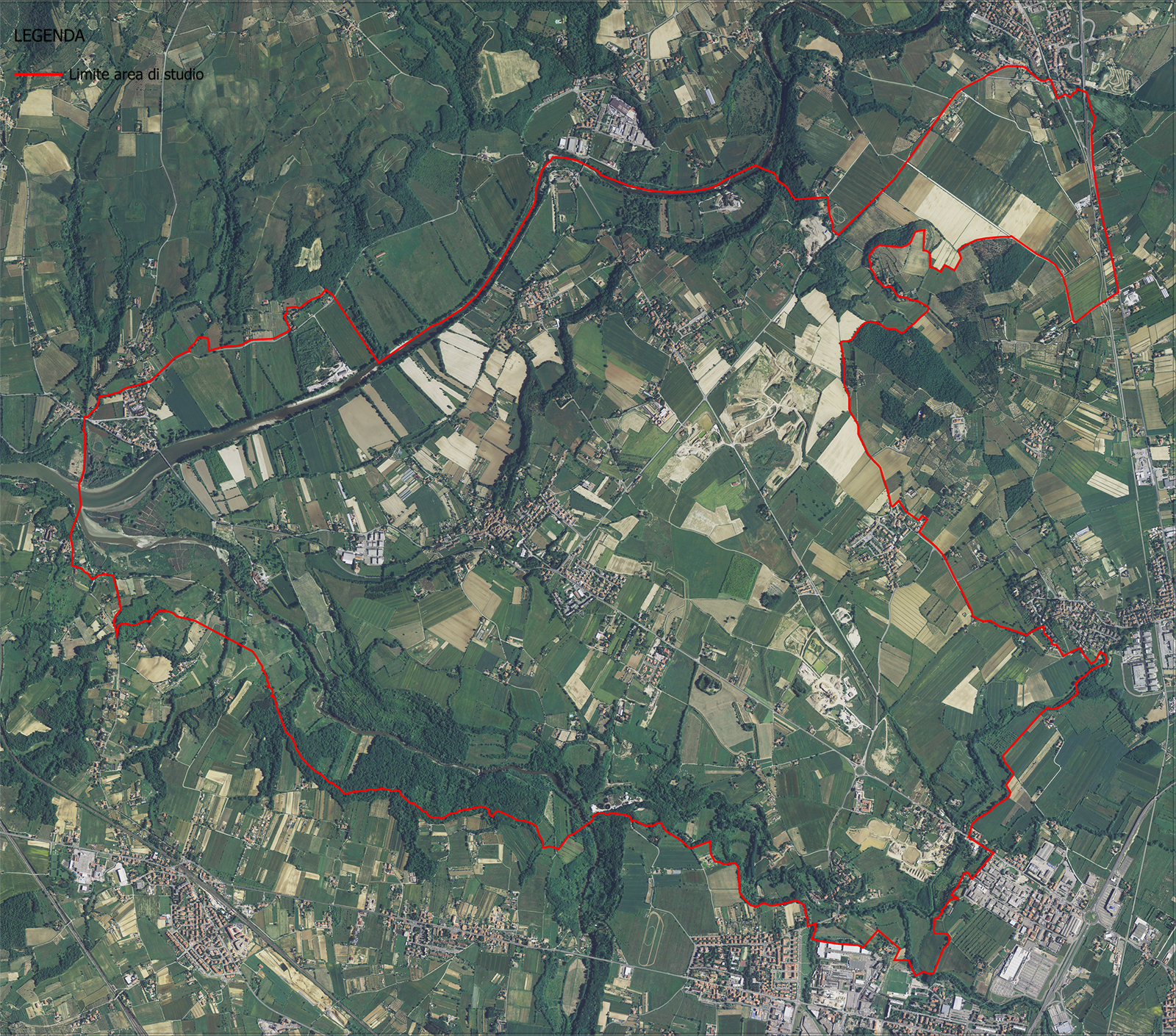
Size/ The project’s area concerned about 1.400 hectares and it is bounded on the north by the Arno river, to the west by the Chiana Channel Maestro river system, to the south by the Maspino stream and the last reaches of the city, to the east by the hilly system.
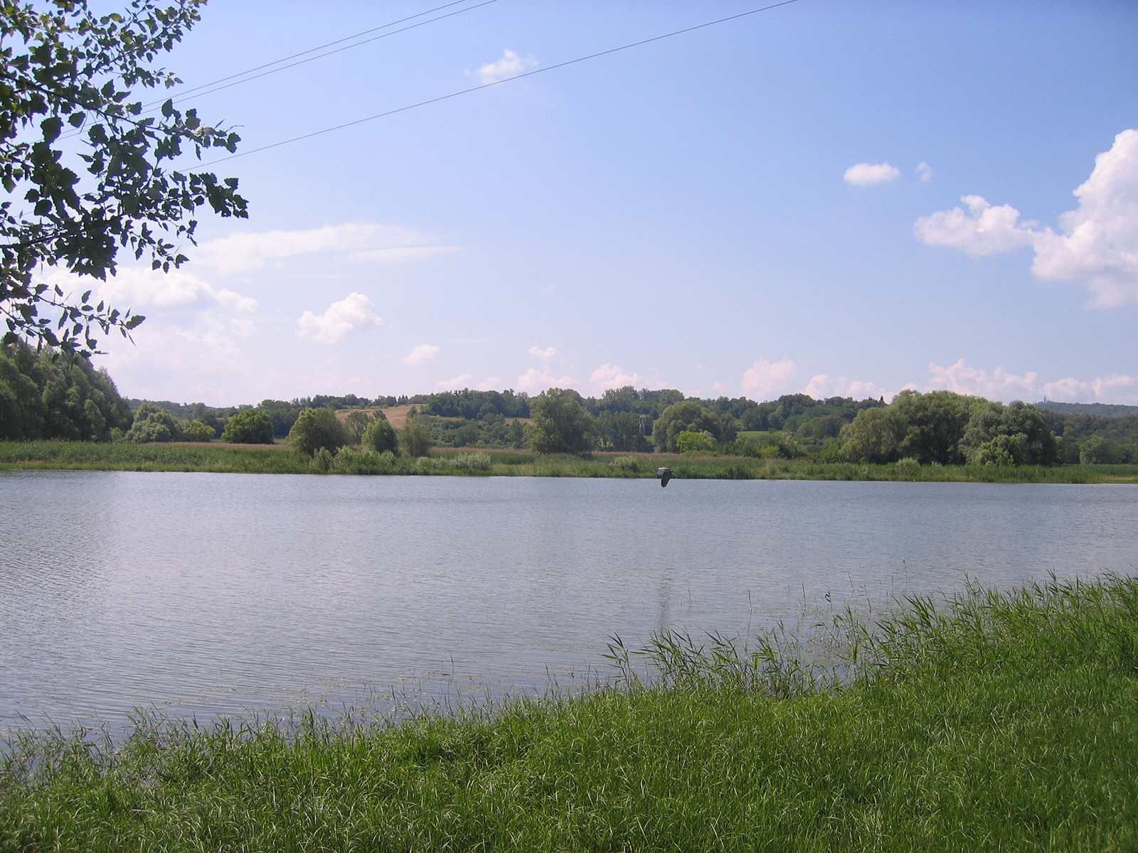
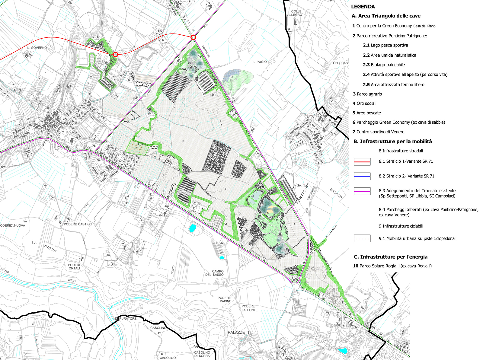
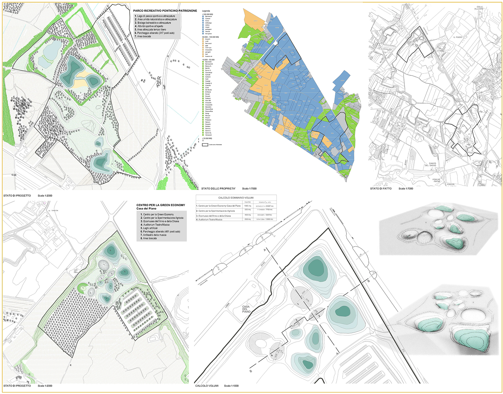
It is an agricultural territory, in which arable crops and specialized tree crops alternate, in which the system of ditches and canals linked to water reclamation and management has been introduced over time, the network of roads and paths, the historical and contemporary settlements and quarrying activities of alluvial deposits of the Arno that for 50 years have affected at least a third of the area for about 450 hectares and another 200 will be in the next 20 years.
The project developed in three phases:
- PHASE I: landscape analysis with a framework and basic knowledges;
- PHASE II: analysis of planning system and expected projects;
- PHASE III: landscape-environmental assessment, with a description of the relationships of coherence or compatibility/incompatibility between the envisaged projects and the objectives pursued by the planning instruments, with particular reference to the themes of landscape and environment;
- PHASE IV: guidelines and proposals for mitigation actions.
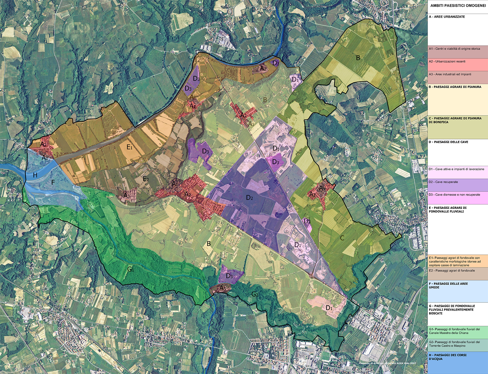
The Master Plan, based on the synthesis phase and landscape and environmental diagnosis, has identified the area destinations (protection zones, development zones and special intervention zones) with the drafting of technical implementing rules and pilot projects supported by an estimate of the financial resources needed for implementation and identification of possible sources of funding.