Landscape Planning
2008 Maremma Regional Park
The Park Plan for the Maremma Regional Park has been made following the article 13 of the Regional Law “Establishment of regional park management bodies” no. 24/94 and subsequent amendments.
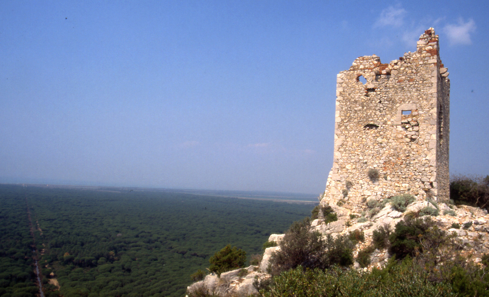
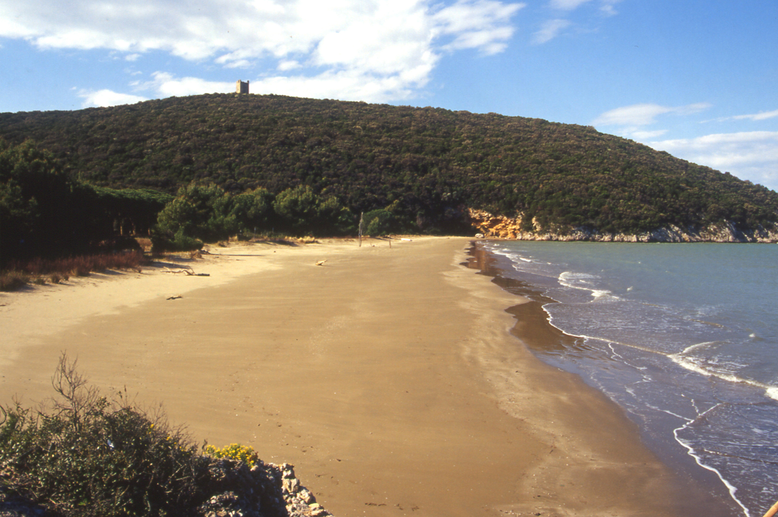
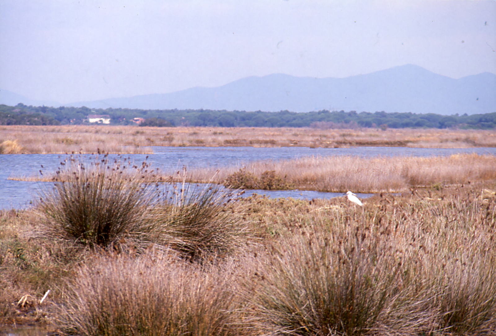
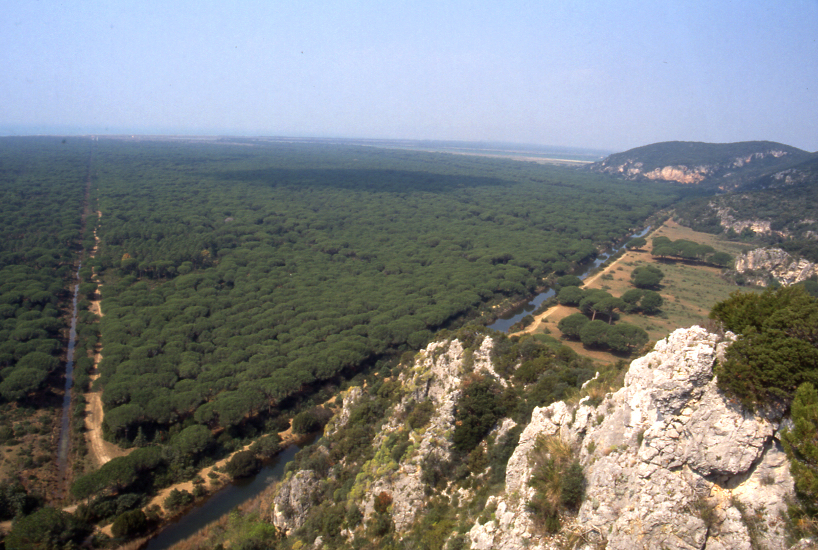
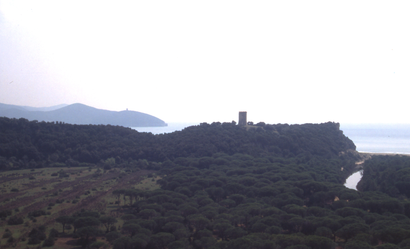
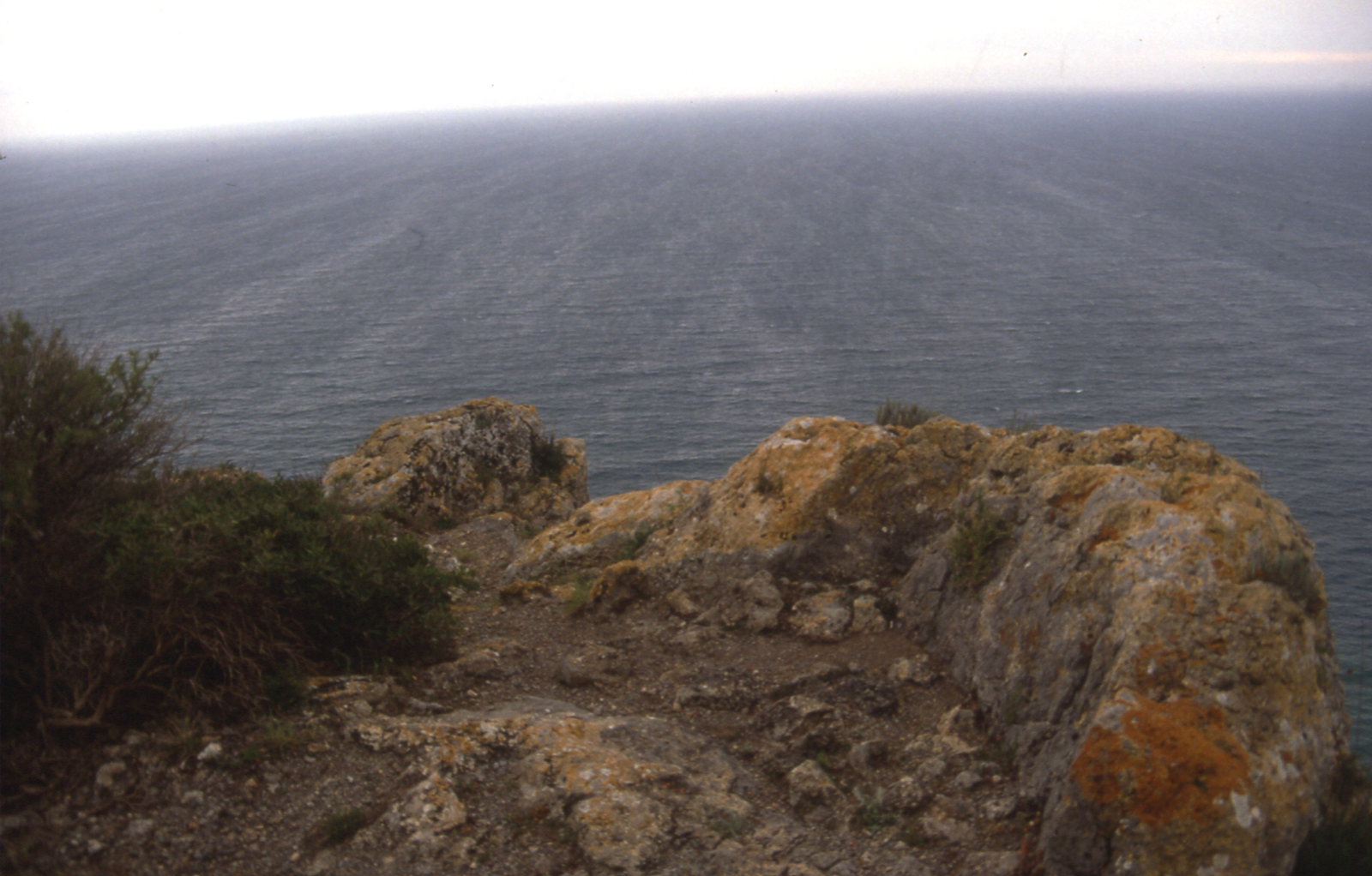
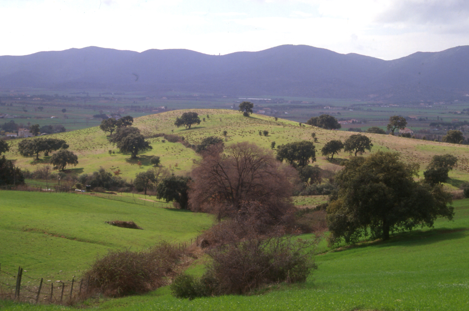
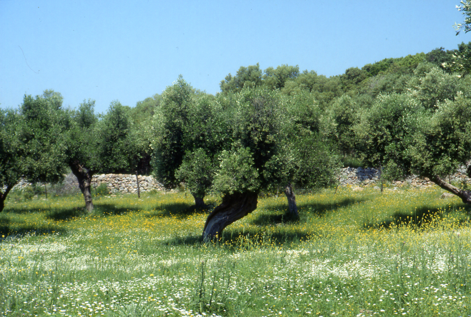
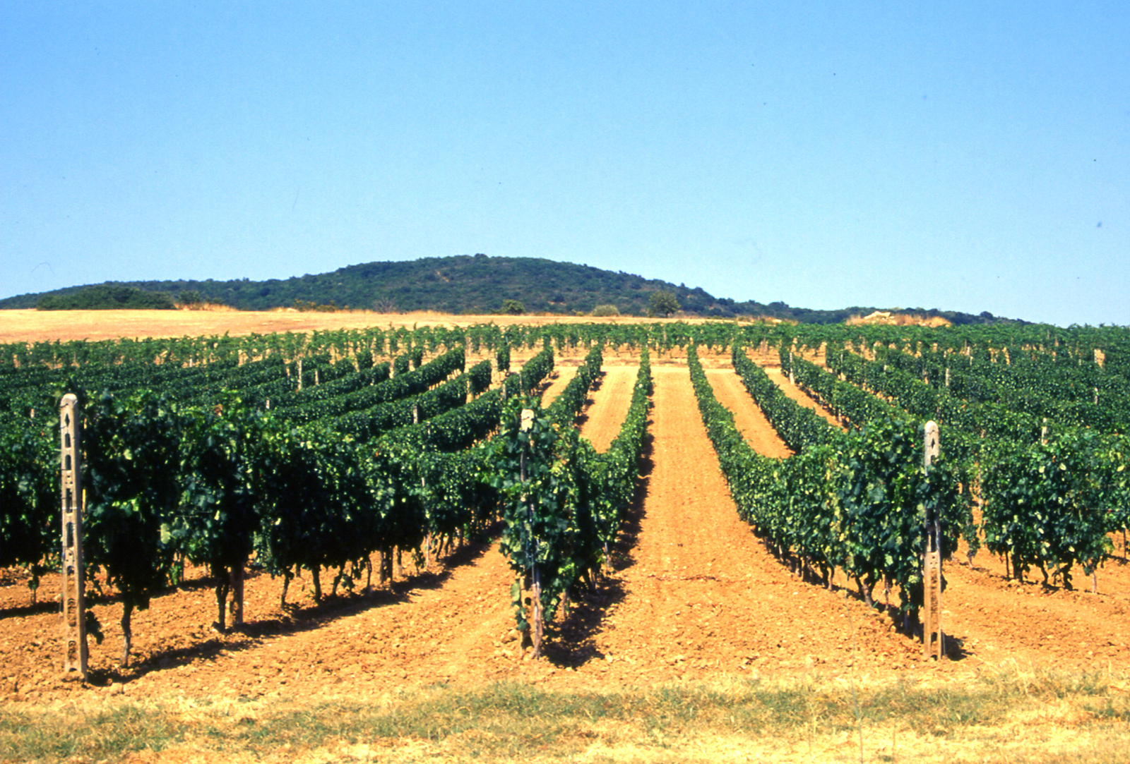
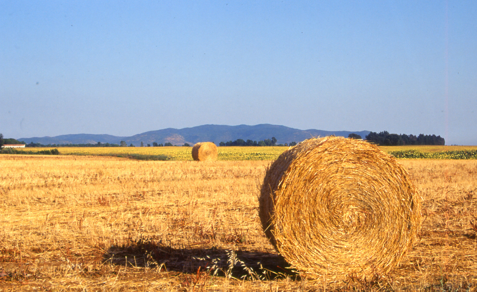
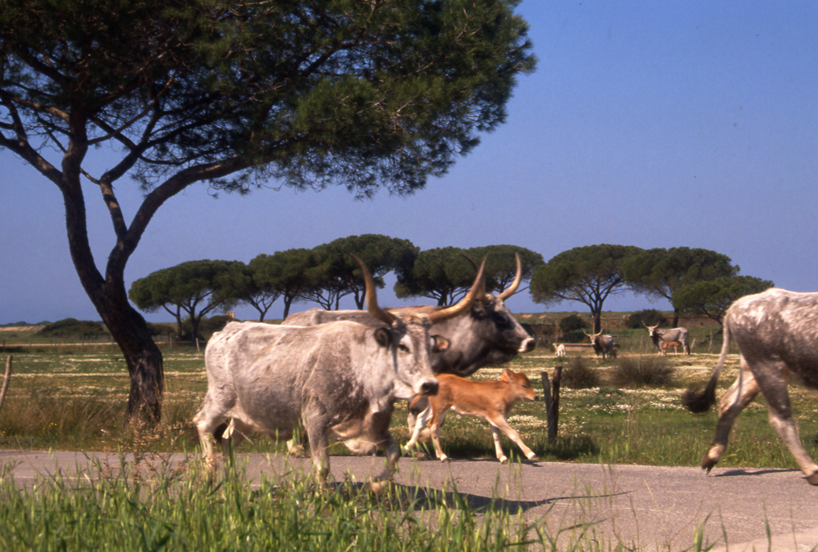
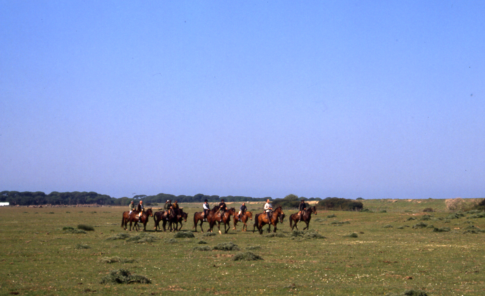
Located in southern Tuscany, halfway between Florence and Rome, the Maremma Regional Park, established in 1975, is one of the first protected natural areas created in Italy and the first in Tuscany. A “park pioneer” of the first generation, who successfully won the challenge of nature conservation, serving as a model for many other natural parks. It is a coastal area with a strong Mediterranean character, but with a wide variety of environments. The new Park Plan contains not only policies and decisions concerning land use and development, but also the organization and creation of services and facilities necessary for the park and the ways of using and managing environmental resources.
WHERE
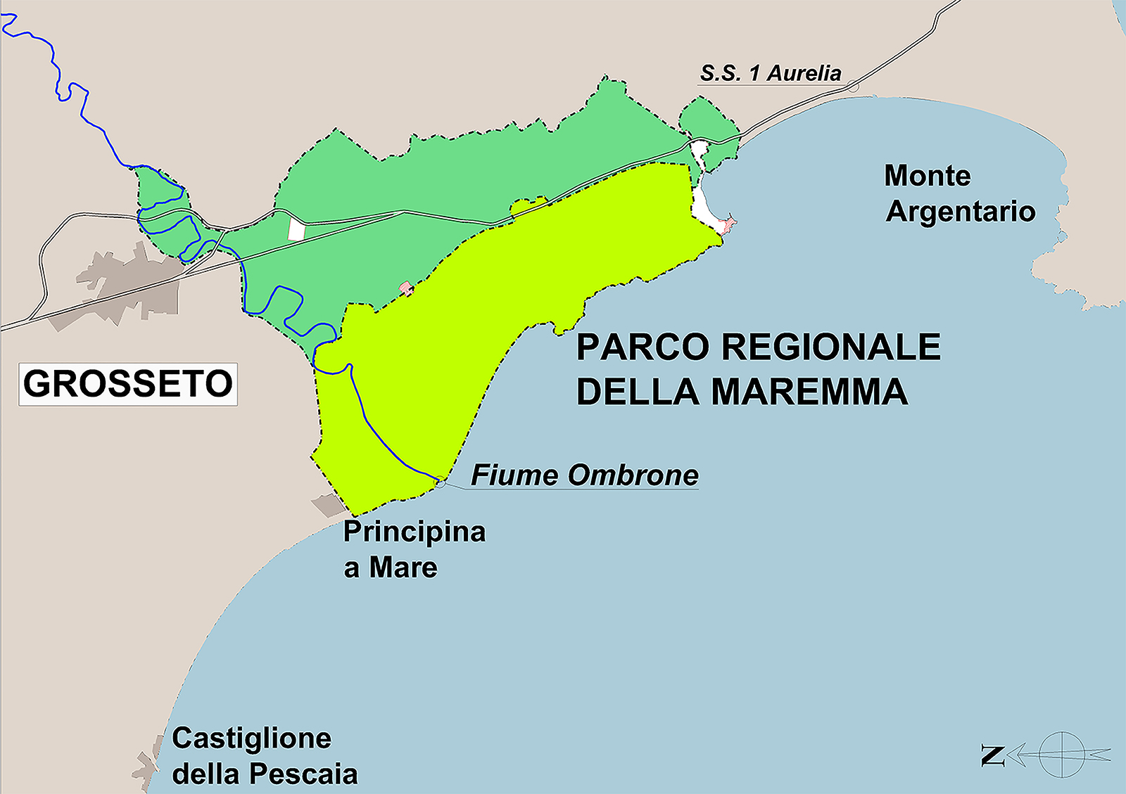
Province of Grosseto, Tuscany Region, Italy
WHEN
2001-2008
WHO
Designers/ Research Group
Project Manager, Enrico Giunta and Cecilia Luzzetti, Maremma Regional Park Authority
Group Leader,Lorenzo Vallerini, University of Florence; Geology, Rossano Mastacchi; Botany and Forestry, Paolo Stefanini; Zoology, Andrea Sforzi; Agronomy and Soil Use, Marco Mencagli; Historical Buildings and Archaeology, Beatrice Antoni and Lucia Poli; Planning, Lorenzo Vallerini and Cesare Salvestroni; Infrastructures and services, Barbara Fiorini; Landscape planning, Lorenzo Vallerini; Cartography and Computer systems, Cesare Salvestroni and Ilaria Spinicchia
Clients/ Maremma Regional Park Authority , Alberese (Gr)
WHAT
Size/ 9.000 hectares
The new Park Plan has as its first objective the coordination between planning instruments at different levels as a fundamental element for the success of the Plan itself and as an integration between local governments and the Park Authority, and in parallel, to promote ecological-landscape connections between park areas, contiguous areas and neighbouring territories to address the interweaving of problems of protection within the park and the way in which the outer areas are used, to develop the Park as a central hub of a system of protected areas in various ways, to plan the park as an integral part of the surrounding landscapes and ecosystems.
The work on the plan was carried out in three distinct phases:
- a first phase of knowledge, which was based mainly on existing data for the whole area covered by the plan, with a production of documentation relating to the collection of studies, research and projects existing or planned for the park area;
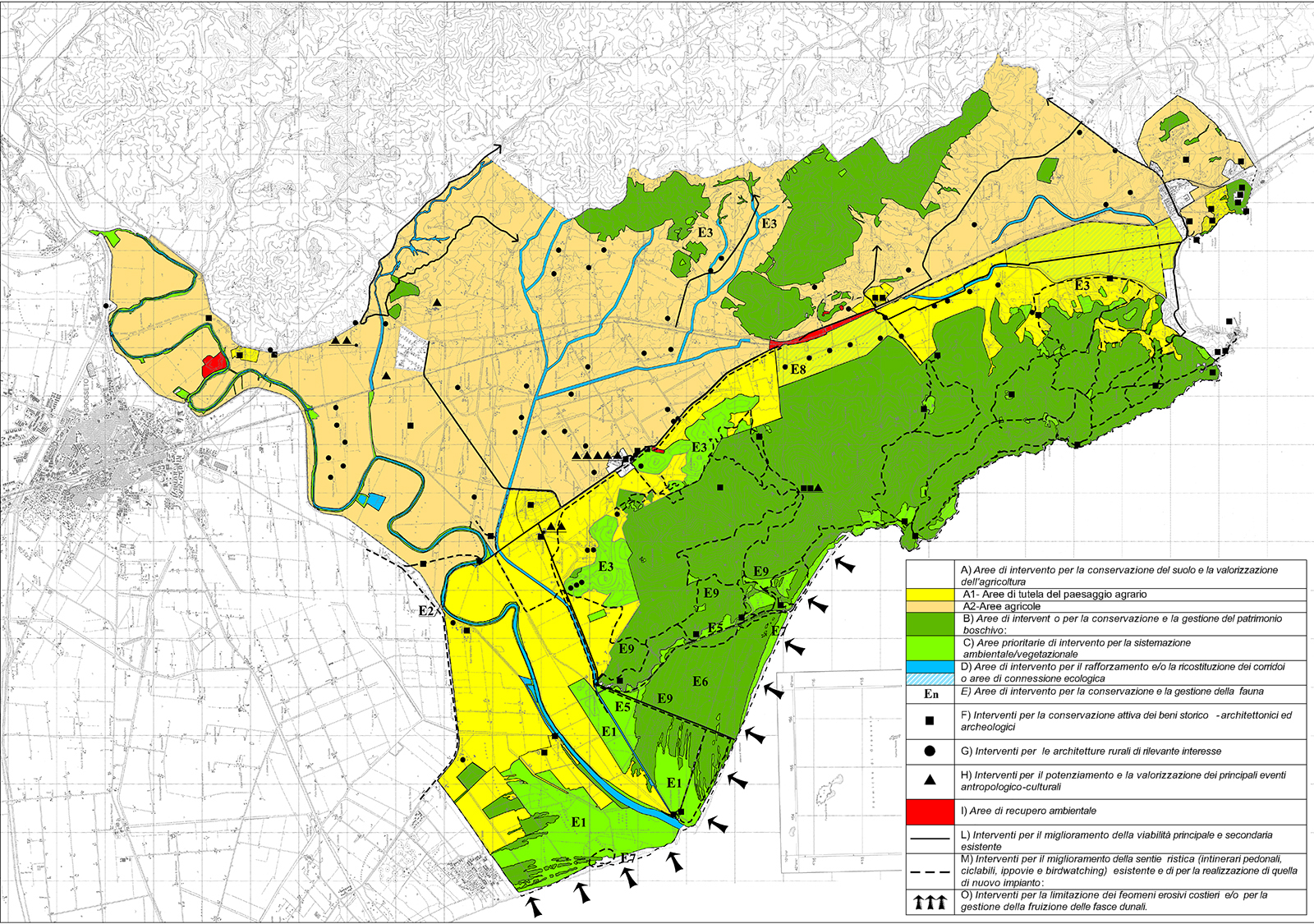
- a second stage of analysis-synthesis, in which research was carried out on the ground and aimed at sector assessments and interdisciplinary synthesis for the definition of ecosystemic units and contrasting elements, or the evaluation of ecosystemic units identified in specific sensitivity classes related to certain stressors such as pollution, settlement development, infrastructure, tourism and recreation, etc. and the definition of actions necessary to eliminate, limit or mitigate the stresses;
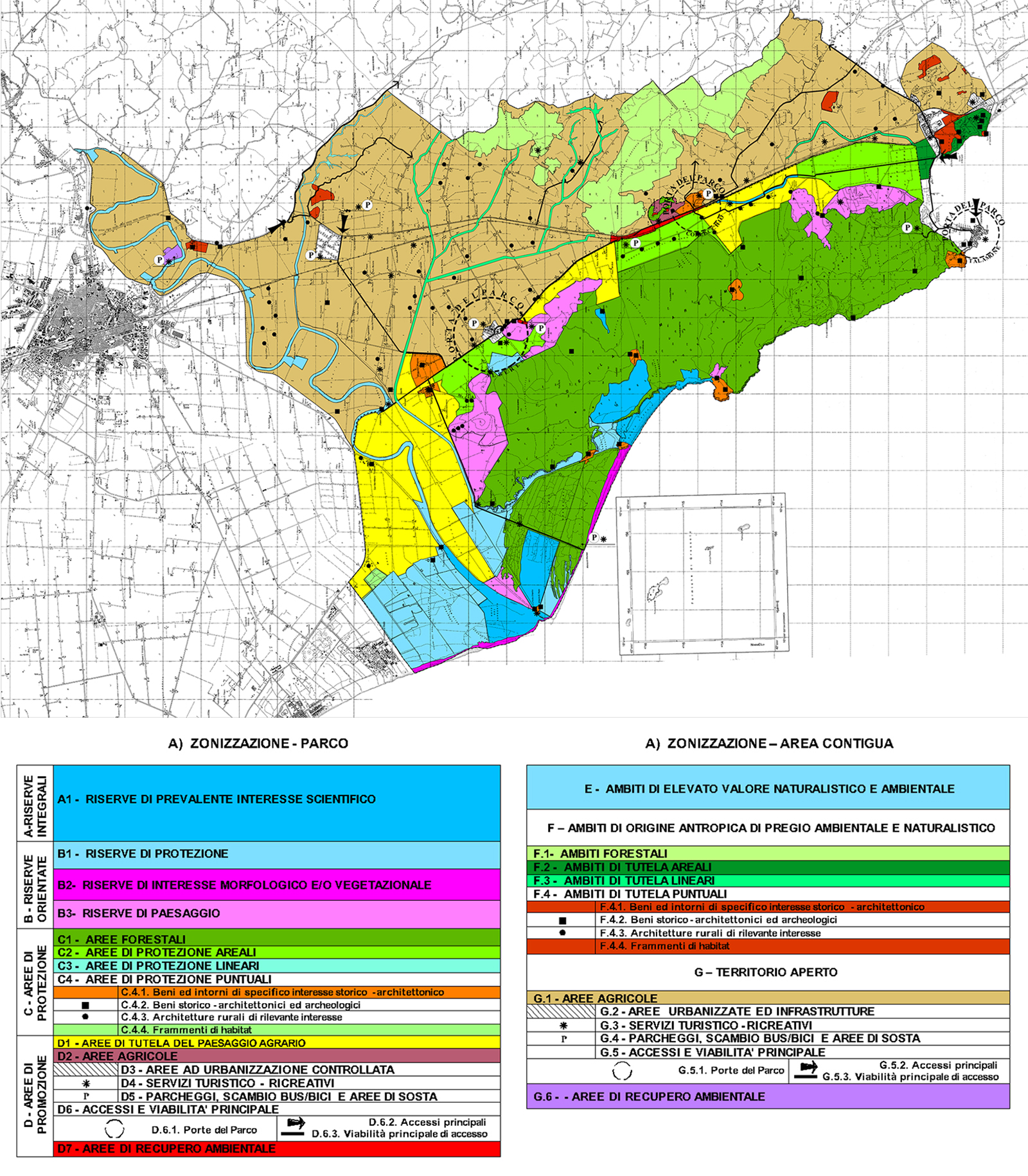
- a third phase of the plan, which defined the specific areas and their implementation rules, the regulation, the elements-areas to be subject to active conservation policies and the intervention and recovery projects.
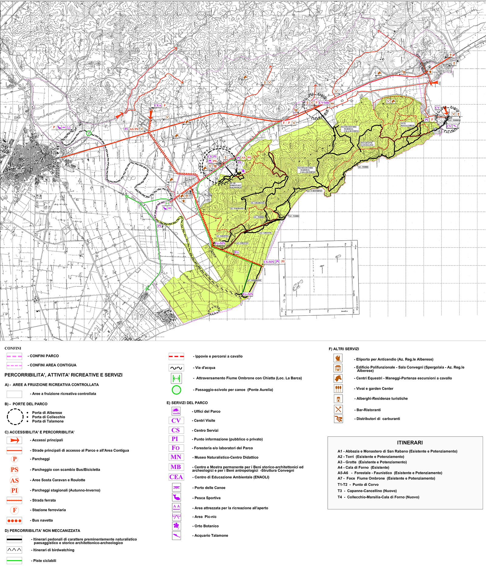
The Plan, based on the indications emerging from a process of public participation Local Agenda 21 (2003), on the one hand, indicates the ways of activities in the territory, on the other hand, intervention and management policies aimed at achieving objectives for active conservation, recreation, research activities and environmental education, etc. The plan contains not only policies and decisions concerning land use and development (use for buildings, agriculture, roads and public transport, landscape, archaeology, historical buildings, etc.), but also the organization and creation of services and facilities necessary for the Park and, finally, the ways of use-management of environmental resources. The Plan should be structured in such a way as to achieve its main objective, or that of a conciliation between the protection and growth of opportunities for development through policies for nature conservation and sustainable development which must find ways of integration in the park, for the actions of conservation and restoration-recovery of the crisis areas, together with forms of concertation/consultation with the institutions and other representative bodies of the local communities.