Landscape Planning
2016 Park Plan Planning Variations
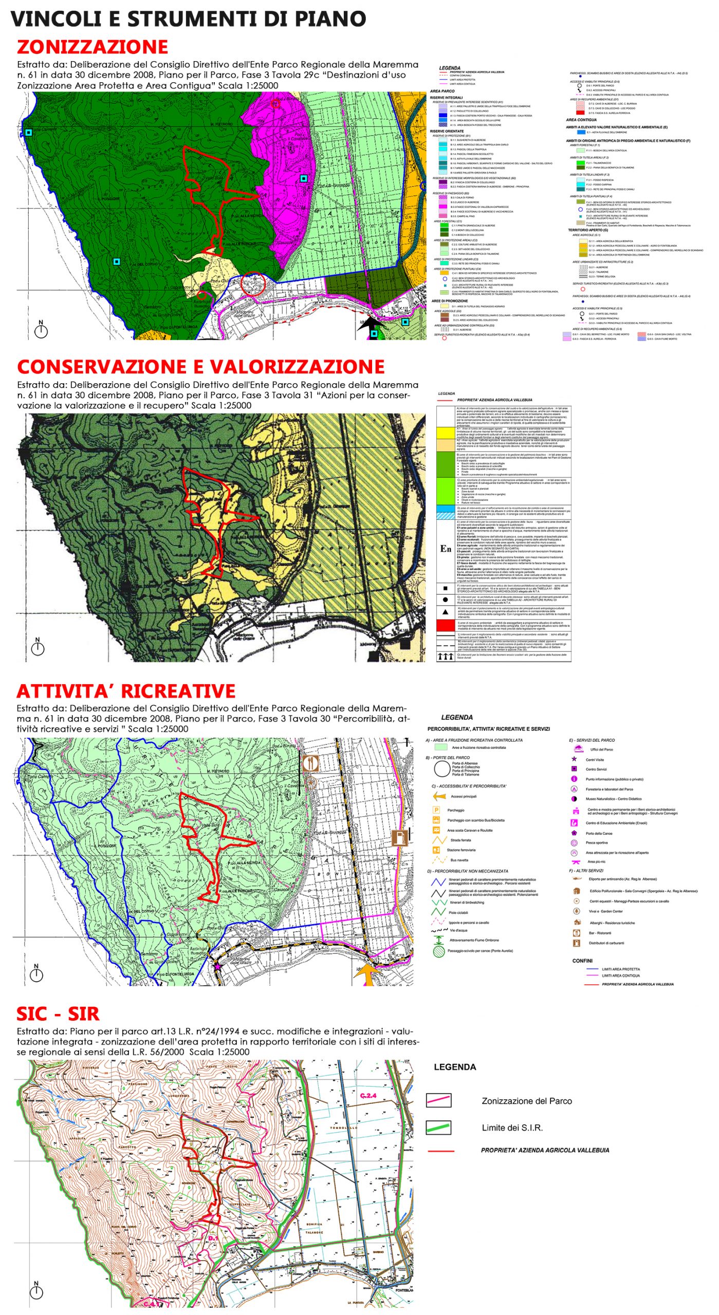
The proposal concerned the drafting of a Planning Variations to the Park Plan of the Maremma Regional Park for a different classification of the land of the Vallebuia estate, a SEA-Strategic Environmental Assessment and an impact assessment for the Site of Community Importance (SIC) and Special Area of Conservation (ZSC) Monti dell’Uccellina SIR-SIC-ZPS, Natura 2000 network.
WHERE
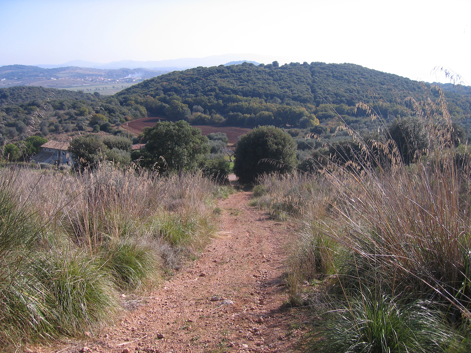
Monti dell’Uccellina, Maremma Regional Park , Province of Grosseto, Tuscany Region, Italy
WHEN
2011-2012- Planning Variations, SEA and Incidence Assessment (VIncA)
2014 – Adoption of the Planning Variations with Resolution of the Board of Directors of the Regional Park of the Maremma n.66 of 04-12-2014
2016 – Approval of the Planning Variations with Resolution of the Board of Directors of the Regional Park of the Maremma n.30 of 22-11-2016
WHO
Designers/ Group leader landscape architect, Lorenzo Vallerini; , collaborators, Elisa Lucattini and Lorenzo Nofroni; nature consultant, Paolo Sposimo NEMO S.r.l.
Client/ Private
WHAT
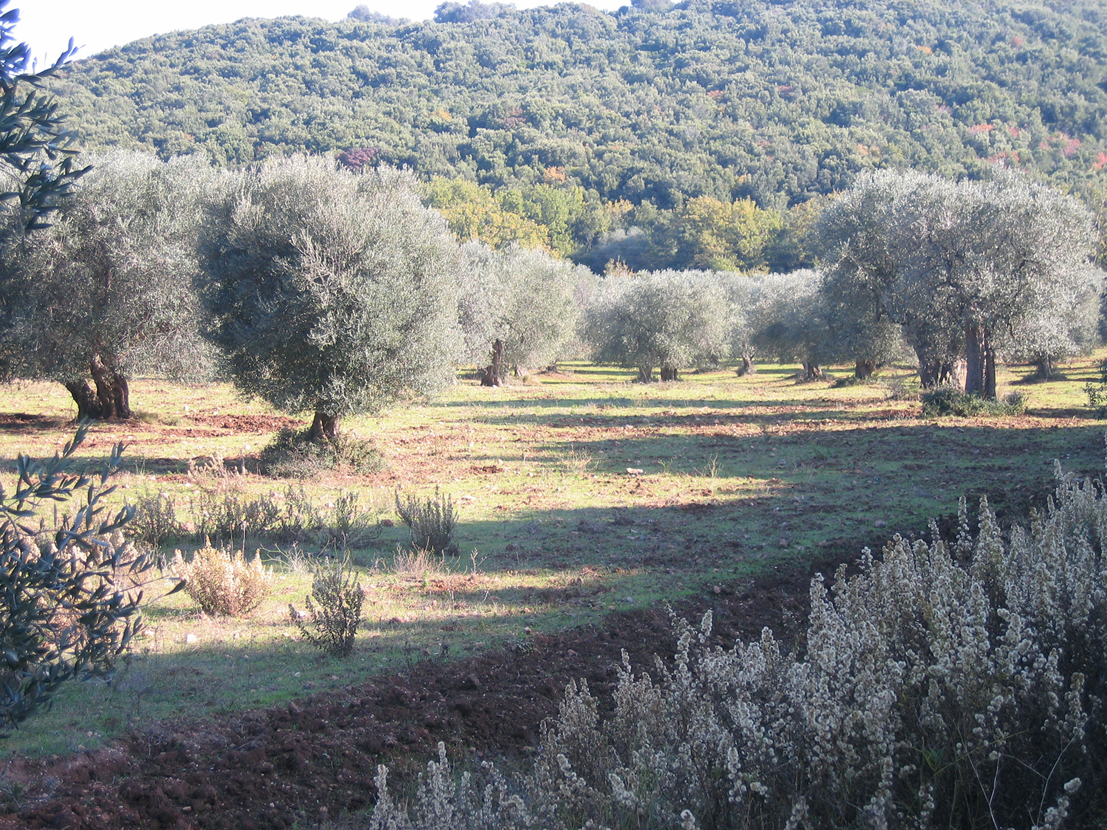
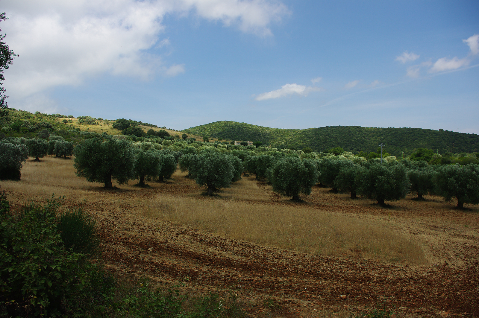
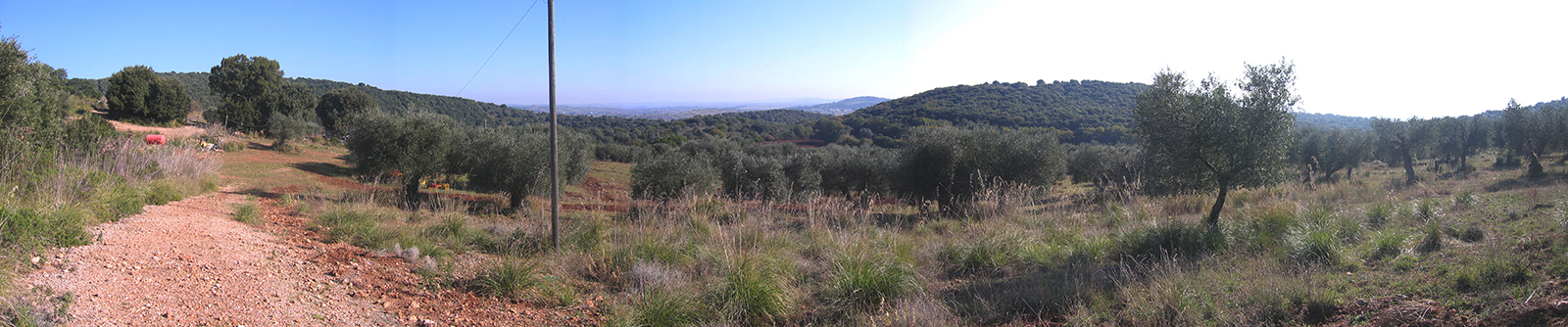
Size/ Vallebuia estate 37,9 ha.
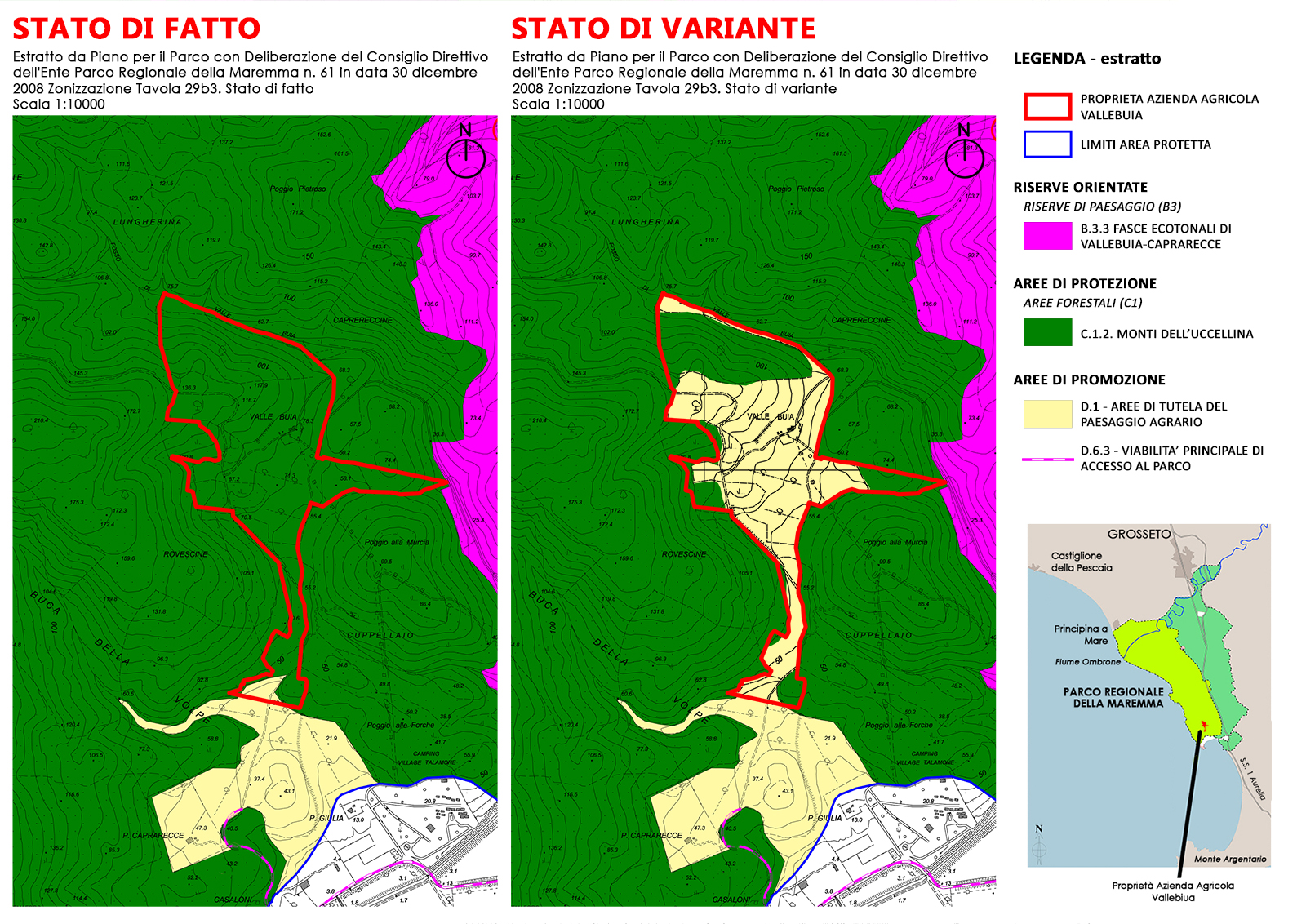
The Planning Variations to the Park Plan is based on a Request for Planning Variations to the Park Plan for different classification of land by the ValleBuia estate for which ” … the area on which … the activity is carried out has always been classified as agricultural area and has always operated and obtained permits and permissions according to this status. All investments, cultivation, maintenance and expansion plans have always taken into account this agricultural classification, including the start-up of an activity of farmhouse….. asking ….. a classification of the area in which the agricultural holding is located from its current destination to Forest Areas (zone C1) to Agricultural Area zone D1…”.
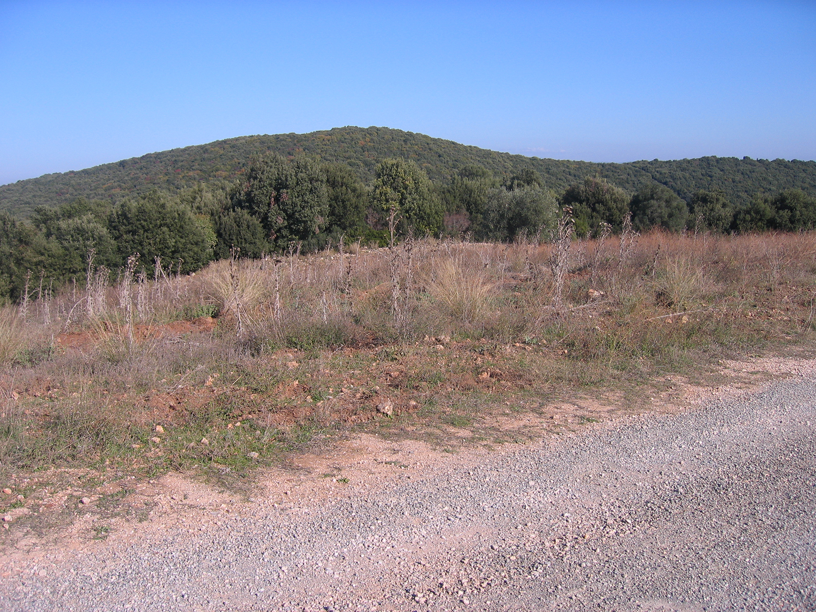
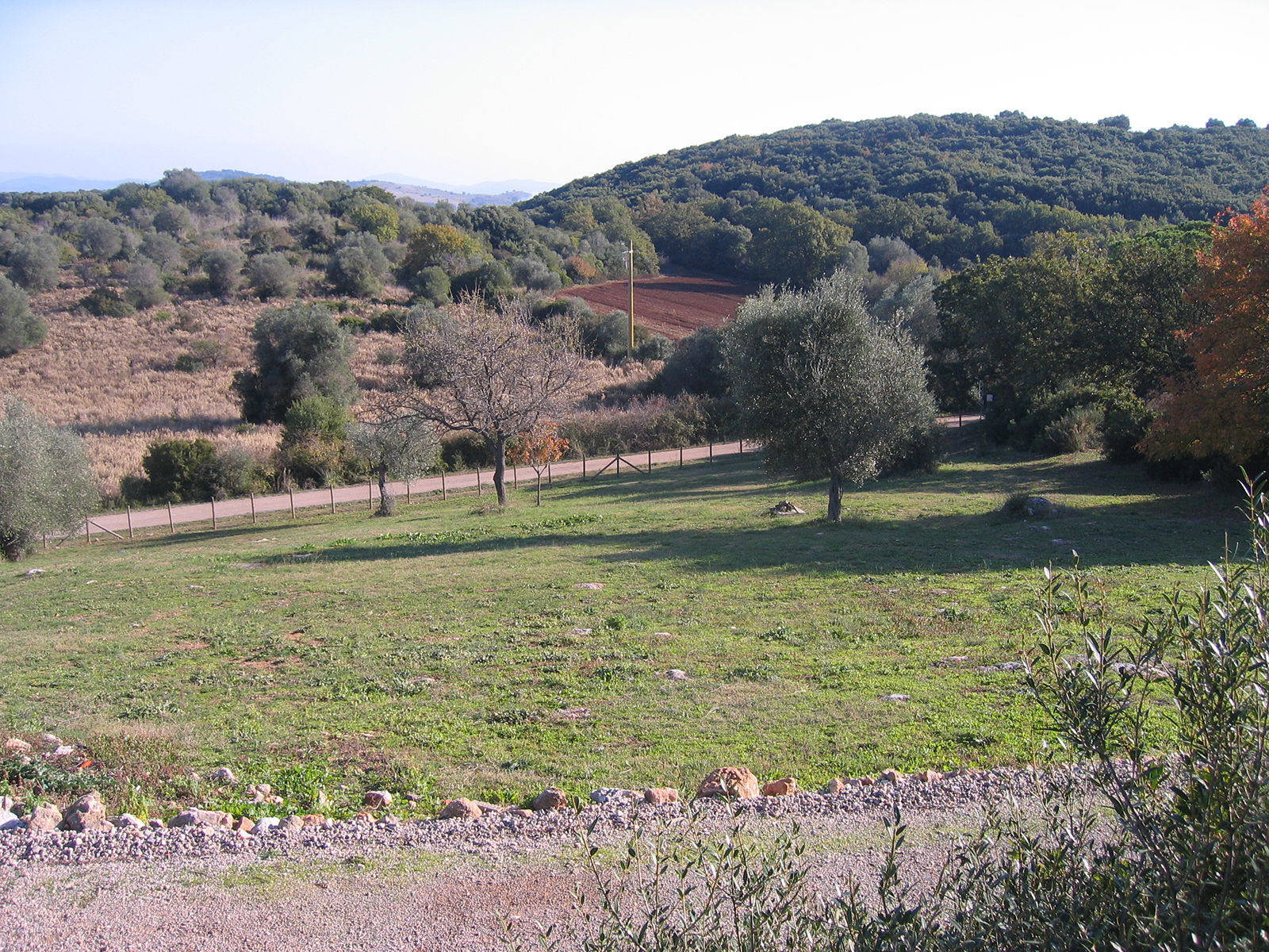
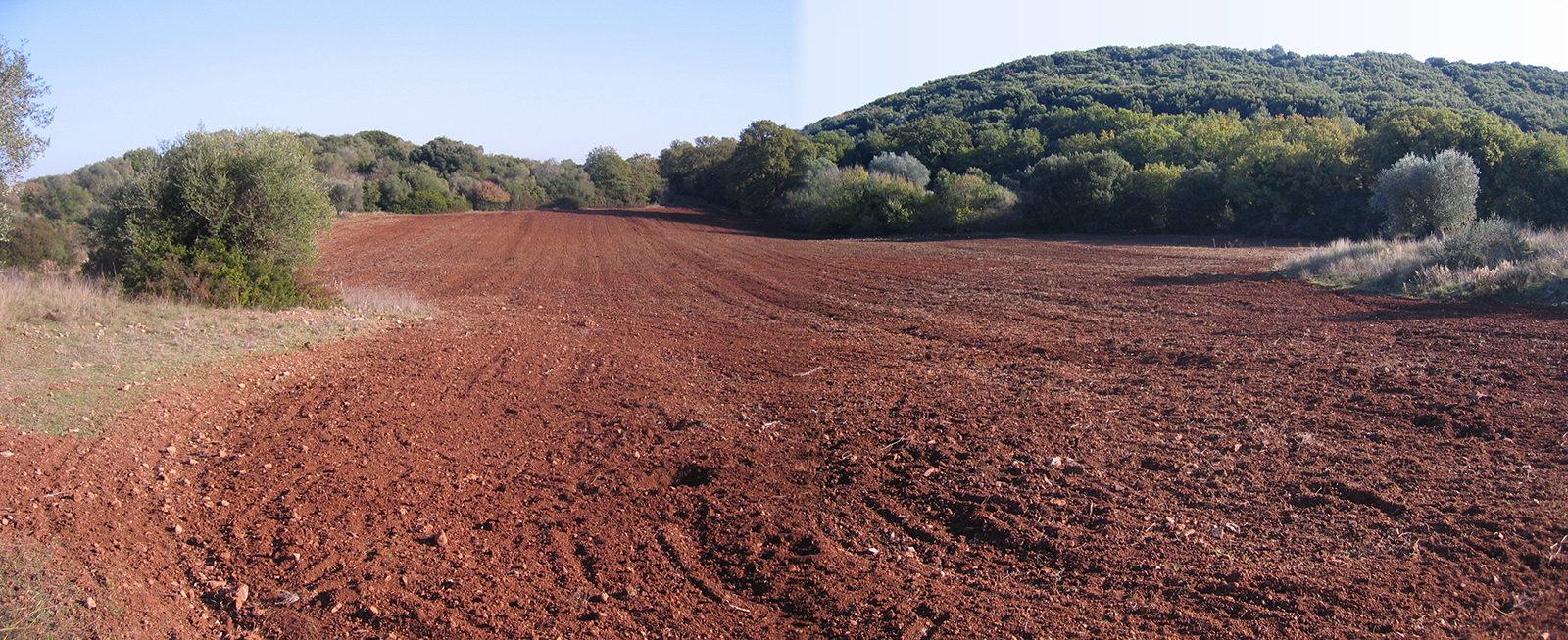
The area affected by the Planning Variations falls in SIR-SIC-ZPS n. 116 Monti dell’Uccellina and in Zone C.1.2. Monti dell’Uccellina (Tav. 29.B3) pursuant to art 12 – Forest areas of the NTA of the Park Plan classified as “Protected C Areas”.
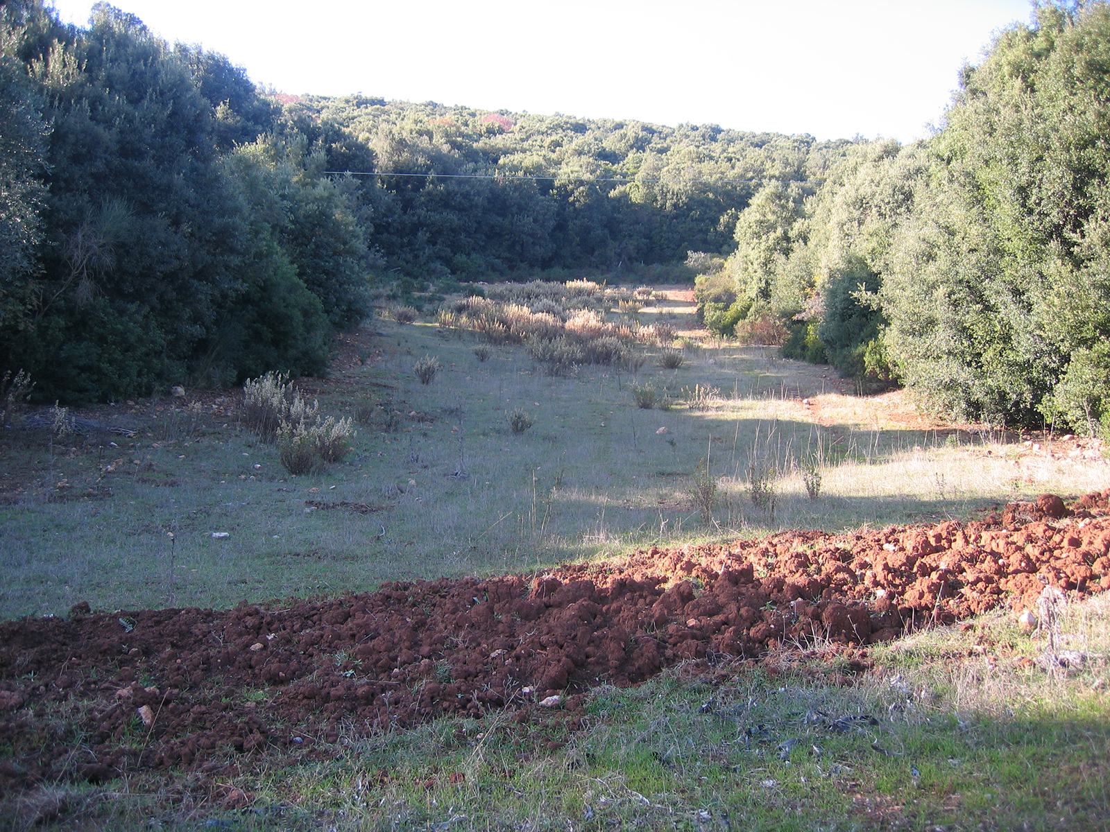
Therefore the Planning Variations had as general objective, based on the Knowledge Framework of the Park Plan and with the support of further analysis and proposal maps, a different classification of agricultural land only (the wooded parts remained unchanged), with change of use from Protected Areas – Forest Areas – Zone C.1.2. Monti dell’Uccellina (art.12) to Areas of Economic and Social Promotion – Zone D1 – Areas for the Protection of the Agricultural Landscape (art.19).
The objectives and proposals of the Planning Variations have identified as new arrangements:
- Maintain current hydrogeological and geomorphological balance;
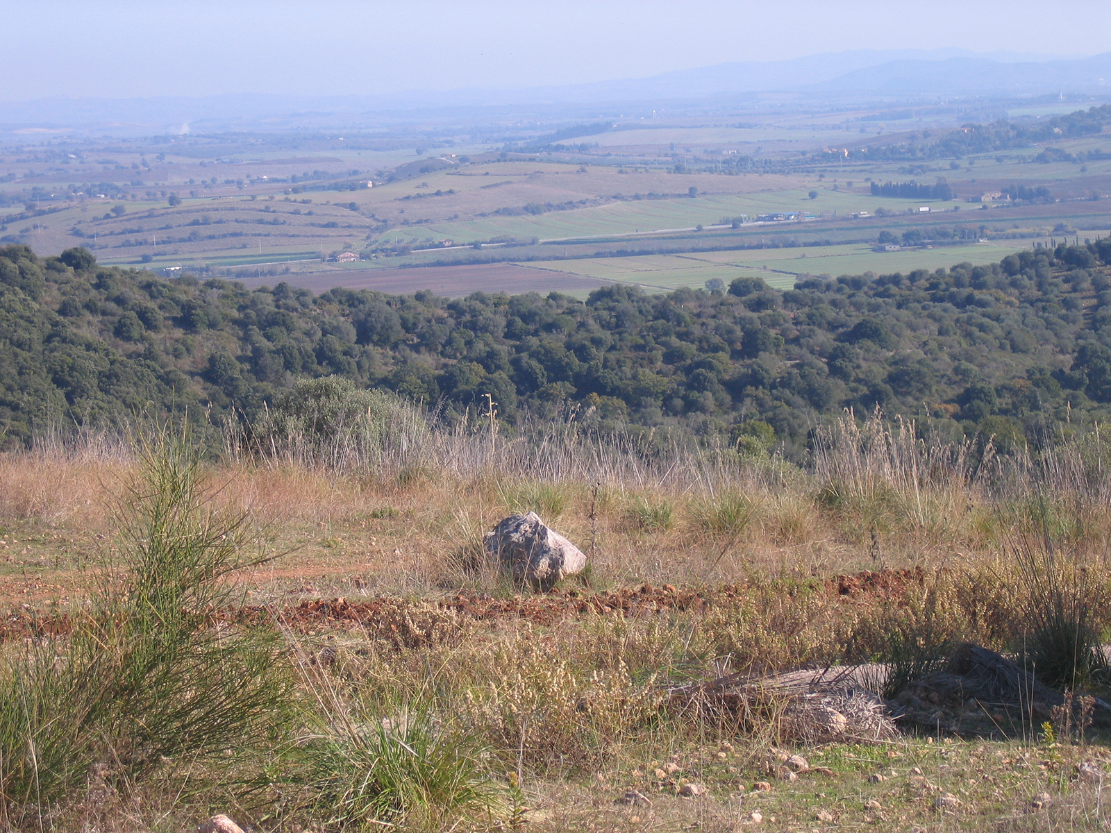
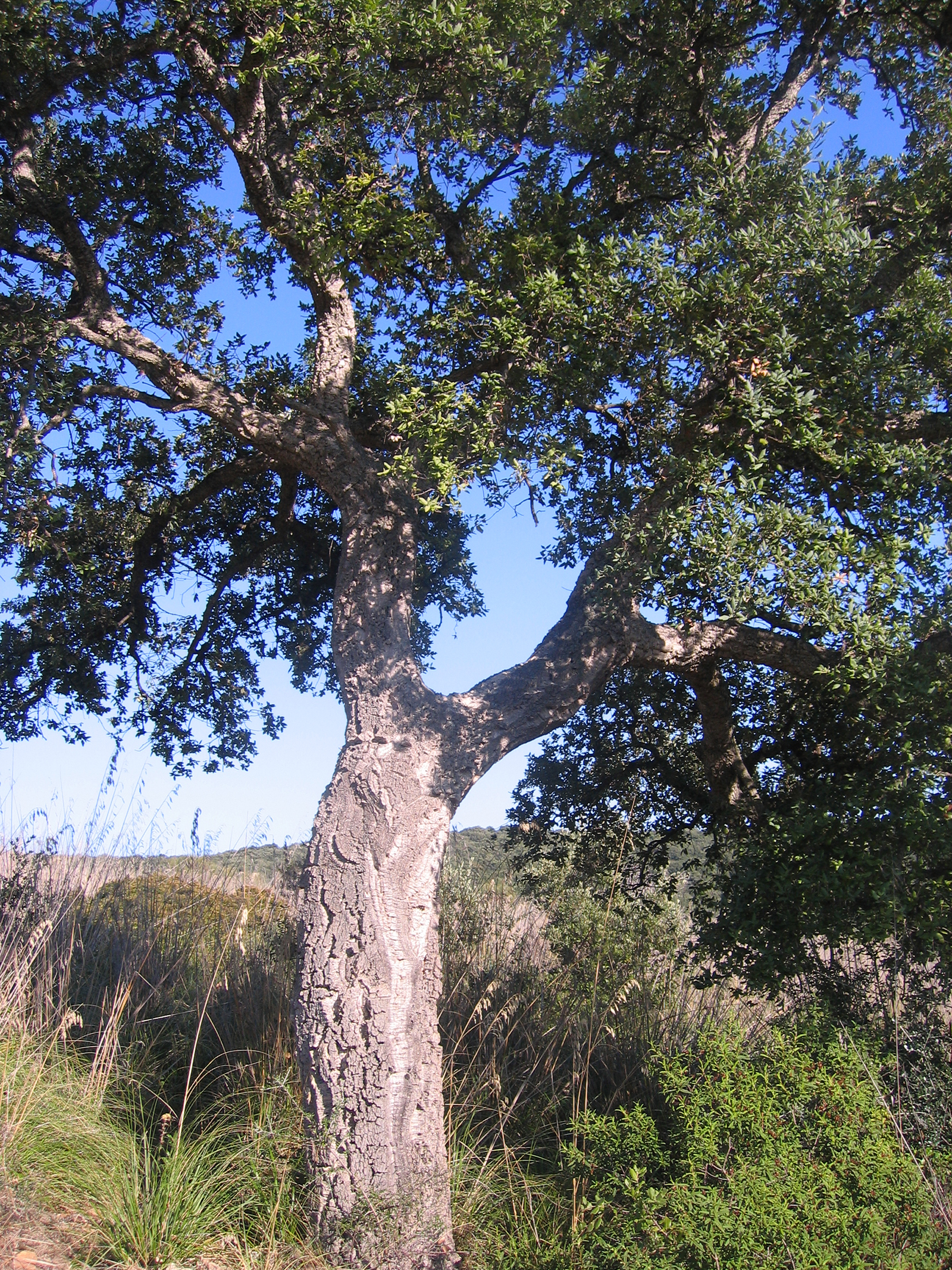
- Maintain, consolidate and restore the structural and functional complexity of the different ecosystems, both at the level of each individual “ecological texture” and as an integrated system, with particular attention to environmental points, spontaneous vegetation and biotic corridors;
- Ensure the formal and substantial permanence of the agrarian systems historically determined constituting the basic and peculiar structure of the landscape of Vallebuia, together with the settlement system and roads;
- Maintain the existing self-sufficiency of water resources for agricultural uses;
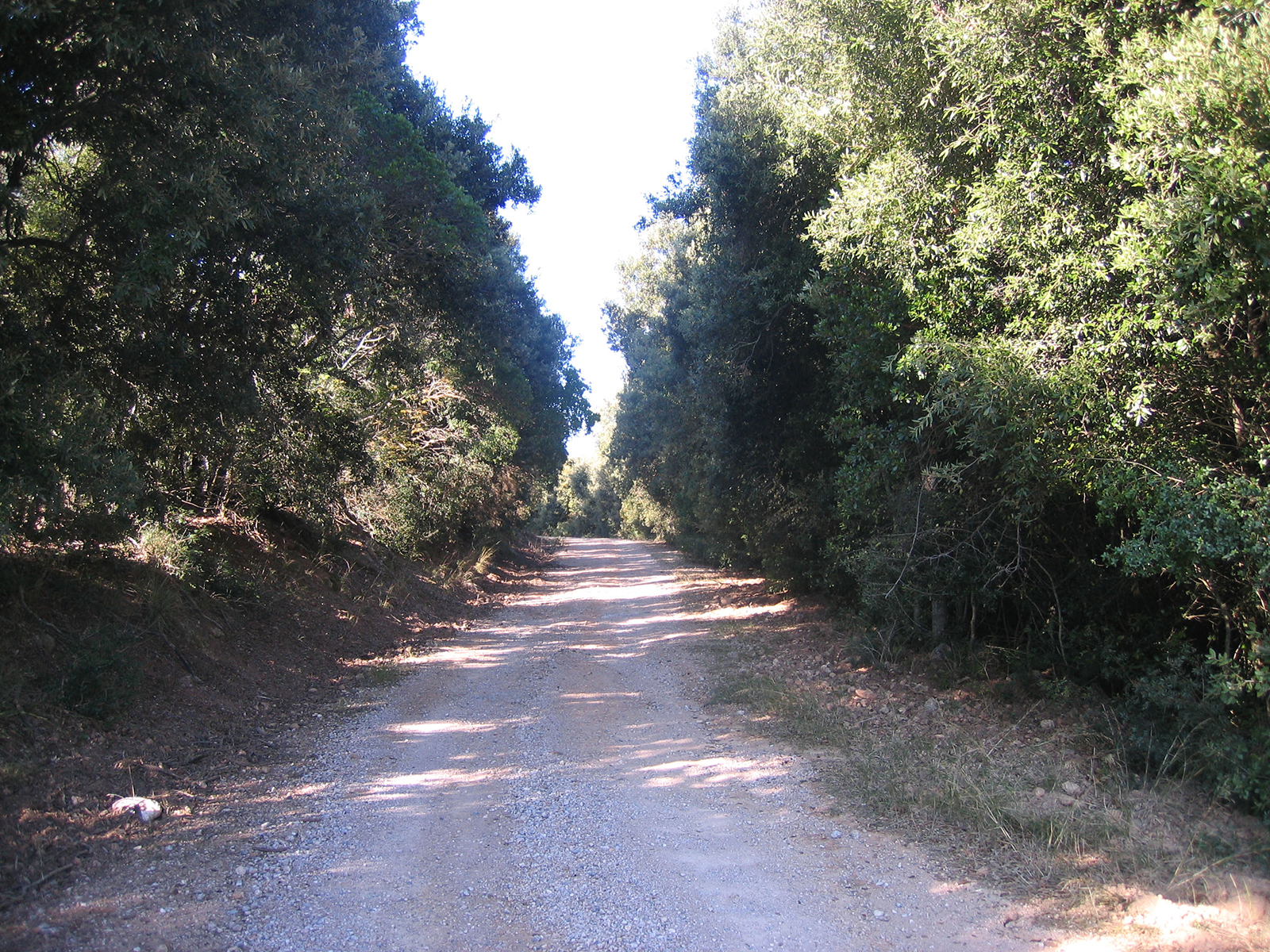
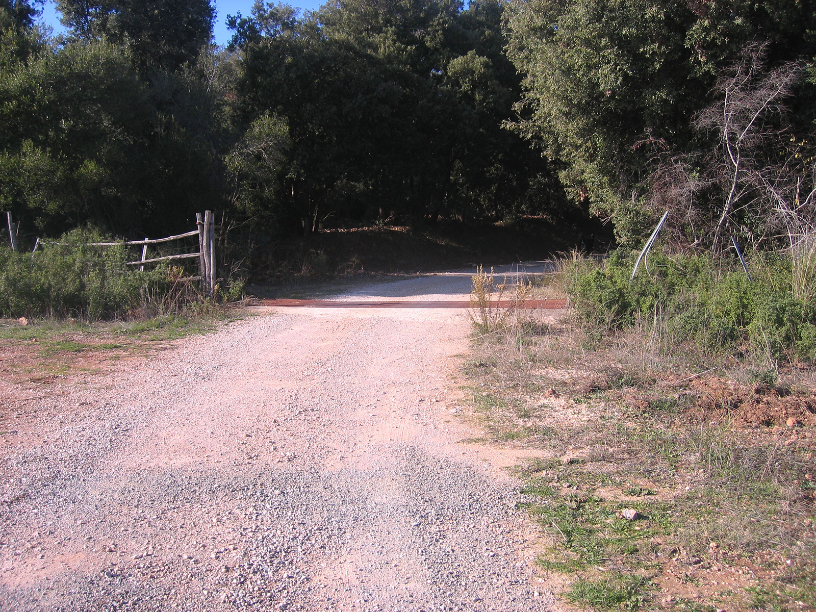
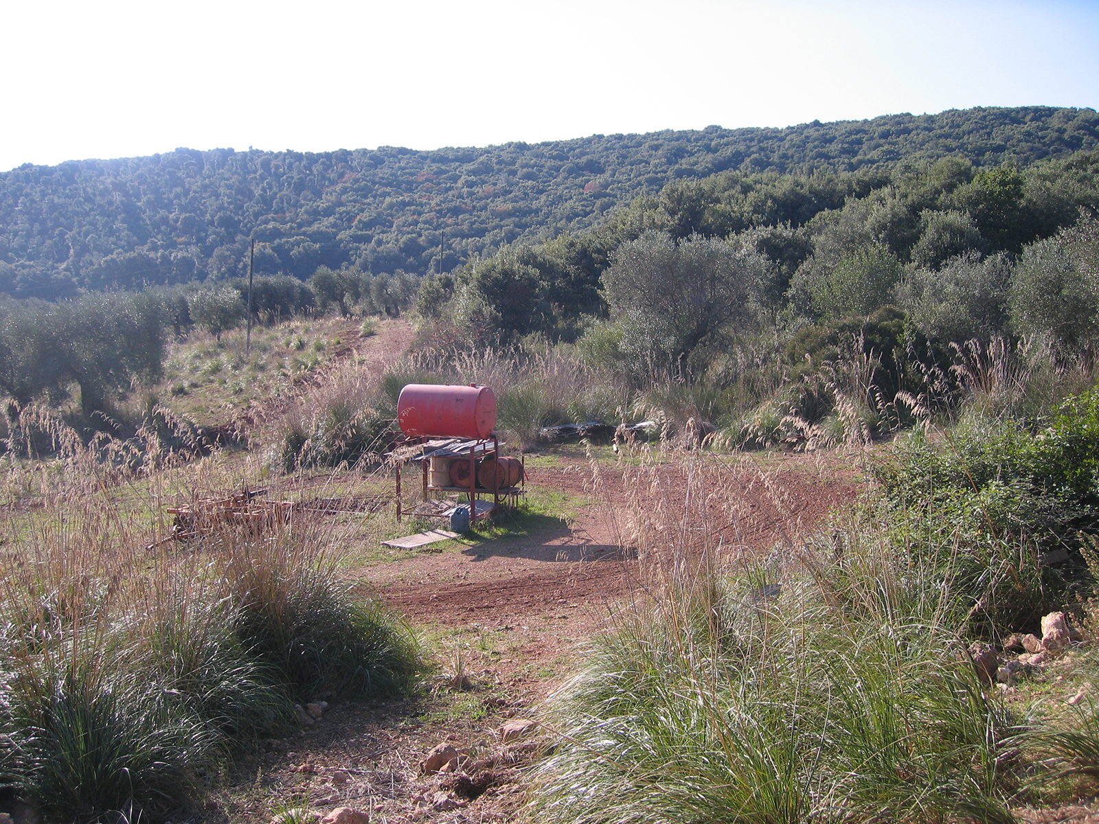
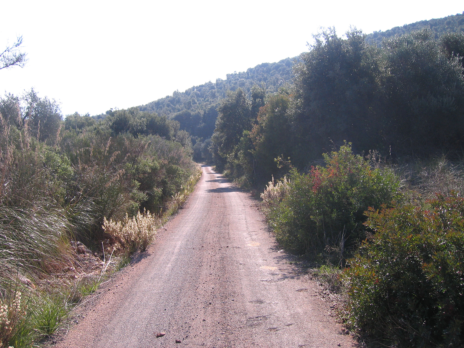
- Improve, where necessary, the existing accessibility by maintaining the current road layout and the “dirt road surface ” of the carriageways;
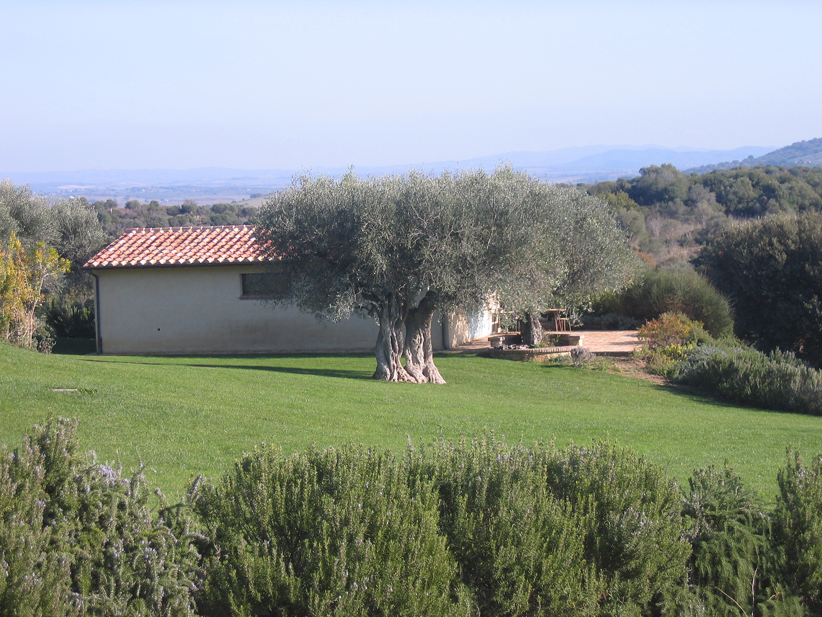
- Ensure the protection and recovery of existing buildings, allowing the recovery for agritourism purposes of existing buildings;
- Encourage and pursue forms of renewable energy production;
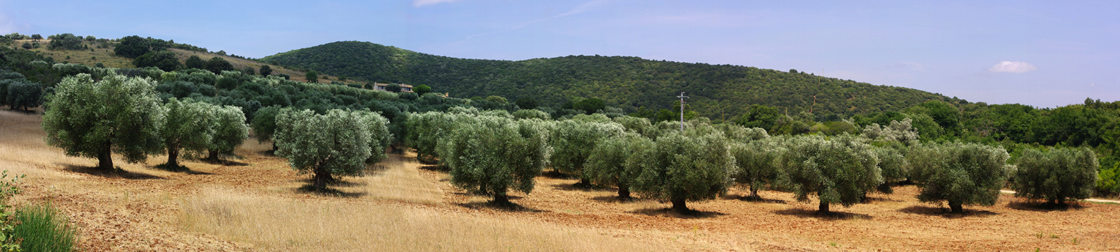
- Support the development of the agricultural activity of the Company, especially in relation to the expansion of olive cultivation, and the construction of new agricultural annexes necessary for the management of the fund and the exercise of agricultural activities.
The work was carried out in three distinct phases:
- a first phase of knowledge based on existing data updated and verified for the whole area subjected to the SEA and Incidence Assessment (VIncA), with the collection of the existing cartographic and thematic documentation, studies and analyses available, the existing spatial planning arrangements, as well as project and intervention proposals;
- a second phase, in which the existing analyses (thematic mapping, documents, etc.) were integrated by means of field analyses aimed at defining homogeneous landscape areas;
- a third phase, which defined the specific areas and elements to be subject to protection measures as well as specific mitigation proposals.
PUBBLICATIONS/LINK
https://parco-maremma.it/wp-content/uploads/2016/11/Dichiarazione-di-Sintesi.pdf